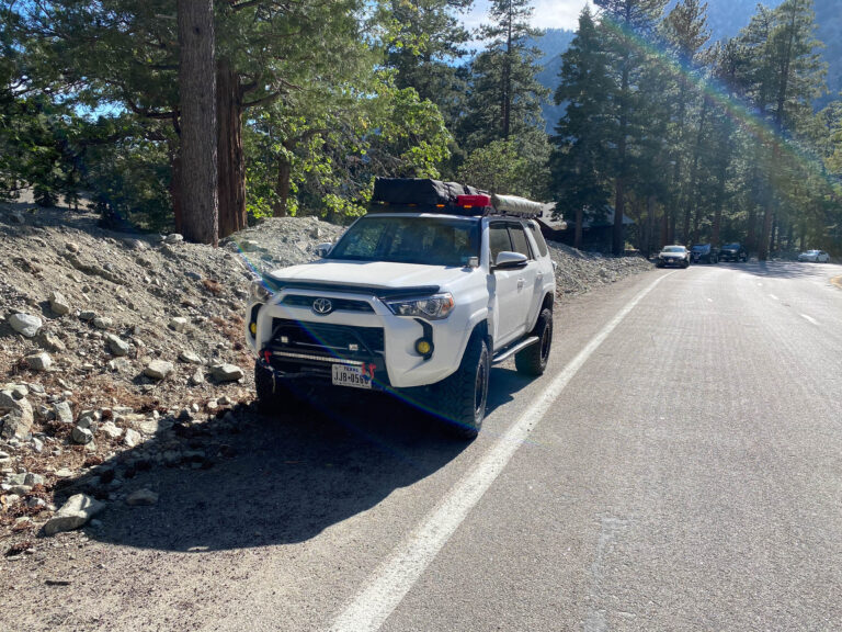
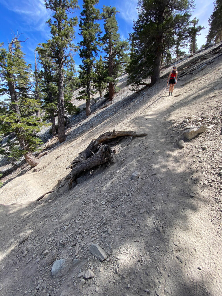
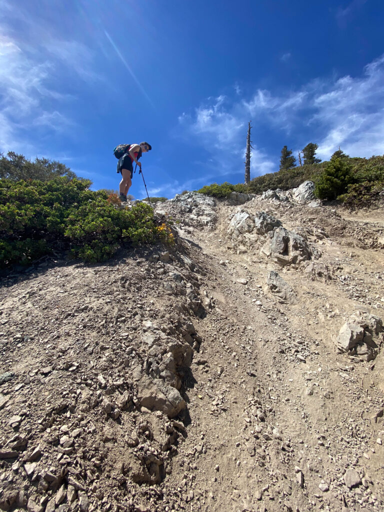
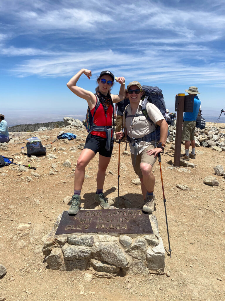
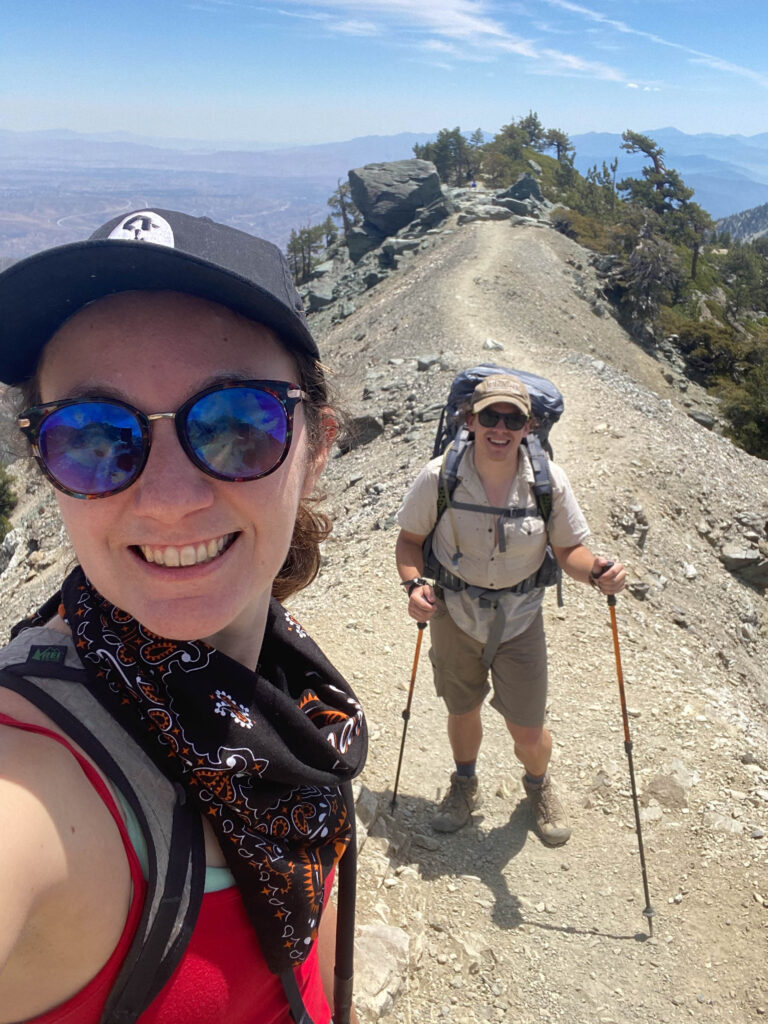
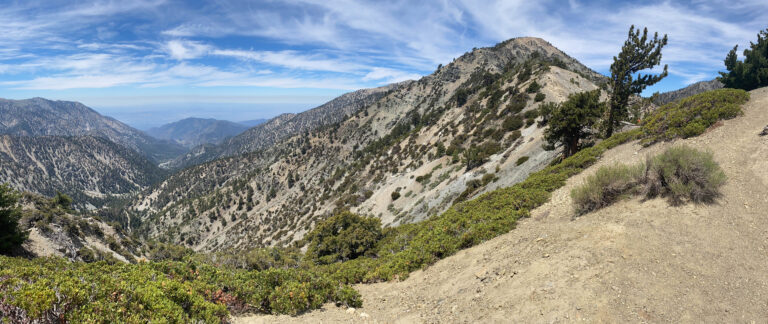
First time up Baldy the whole way. We went up the fire road and the Backbone with a full backpack, fell asleep at the top, and tested the cooking gear because it was harder than we thought. Looped down the ski-hut side.
June 5, 202134.2365°N 117.6533°W
— routes
MB
Trail Journal
GPX · Photos · Heatmap
Browse Routes
Open any route card to focus the map, inspect stats, trace elevation, and browse media.
Photo Markers
Open a route card to browse photos geotagged along the trail. Enable the Photos layer to see photo markers on the map.
Heat Map
Enable the heat layer in the layers panel to reveal route density across the current map data.
Mt. Baldy (officially Mt. San Antonio, 10,064 ft) is the high point of the San Gabriels, in the Angeles National Forest. The classic loop from Manker Flat climbs the Baldy Bowl past the ski hut and comes down the exposed Devil’s Backbone.
If you go
Mt. Baldy (officially Mt. San Antonio, 10,064 ft) is the high point of the San Gabriels in the Angeles National Forest. The classic loop from Manker Flat goes up the Baldy Bowl / ski-hut trail and down the Devil’s Backbone (or the reverse). You’ll need an Adventure Pass to park. Watch for afternoon thunderstorms in summer — the Backbone is exposed — and treat it as a real mountain in winter, when it needs ice axe and crampons.