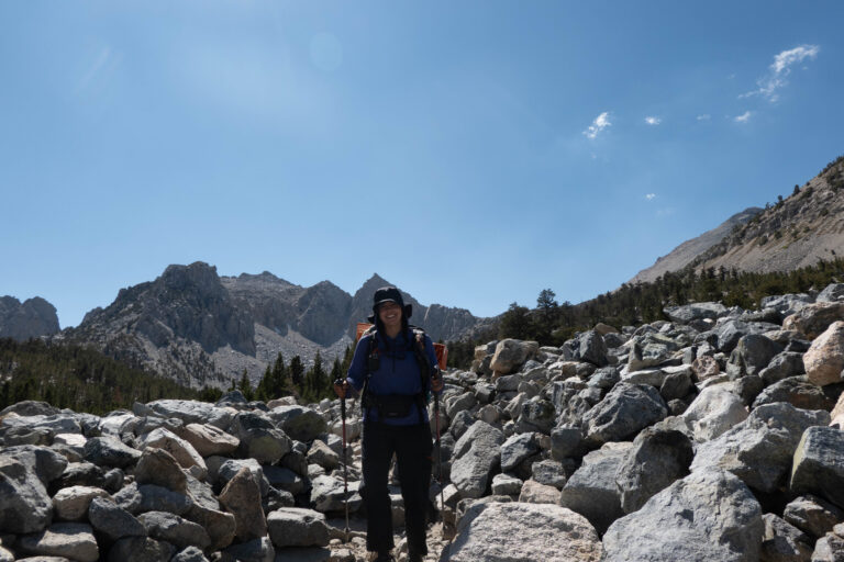
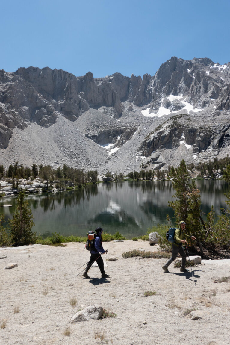
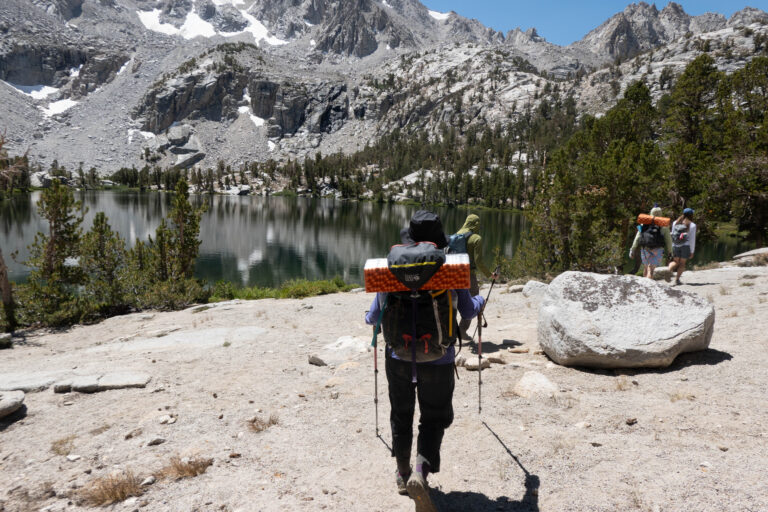
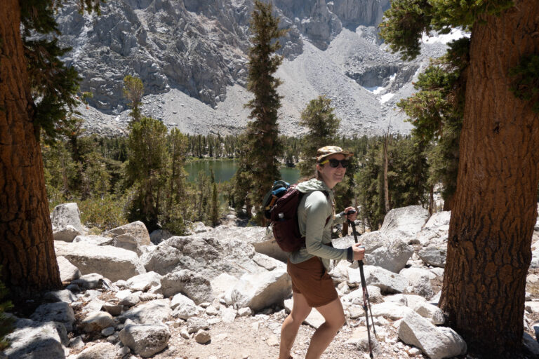
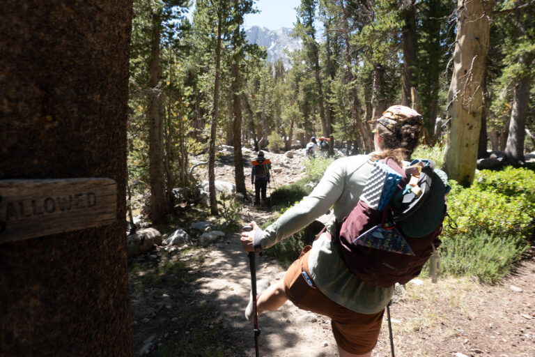
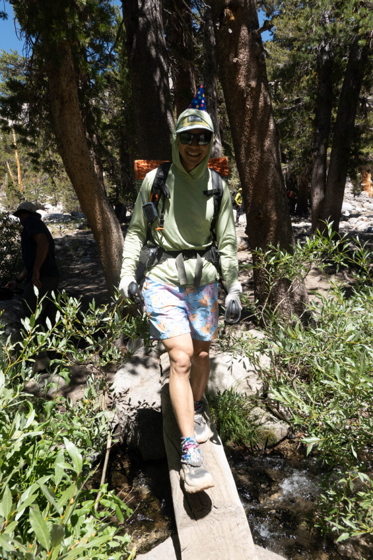
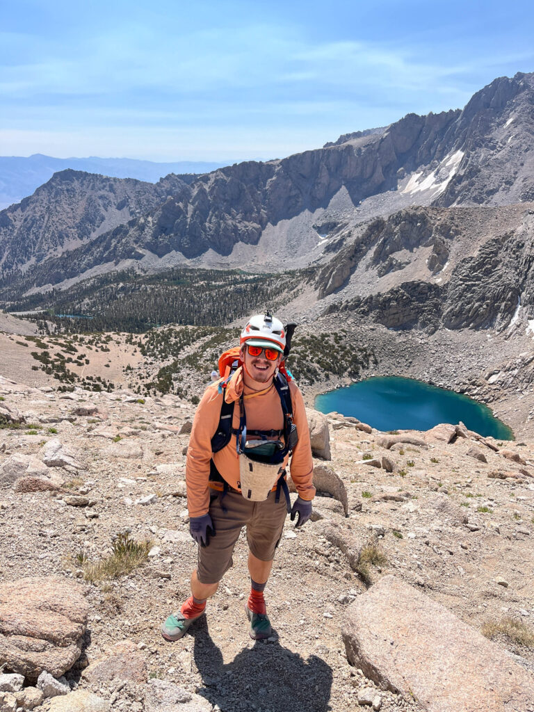
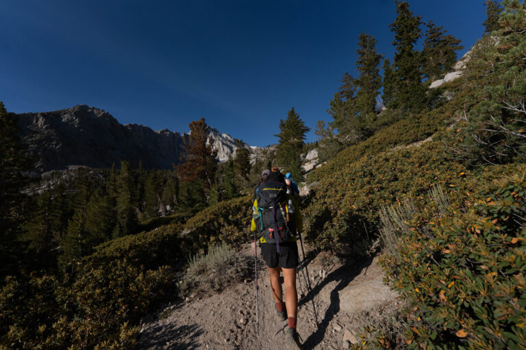
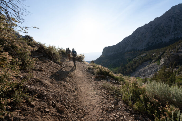
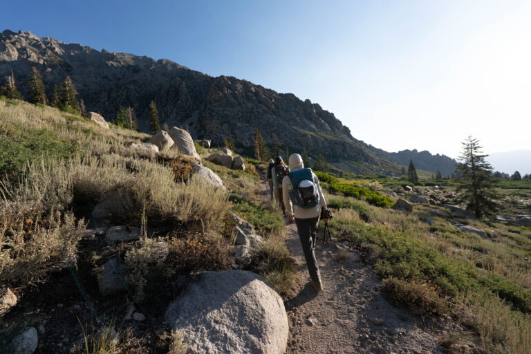
Birthday trip for our buddy Chris. We had three sites at the Onion Valley campground, drove in around 8 Friday night, then hiked up to Kearsarge Pass and turned right to peak-bag Mt. Gould. Chris is chasing 30 peaks — he’d climbed Kearsarge as his 29th the day before and finished the 30th with Gould.
August 9, 202536.7720°N 118.3540°W
Eastern Sierra
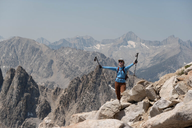
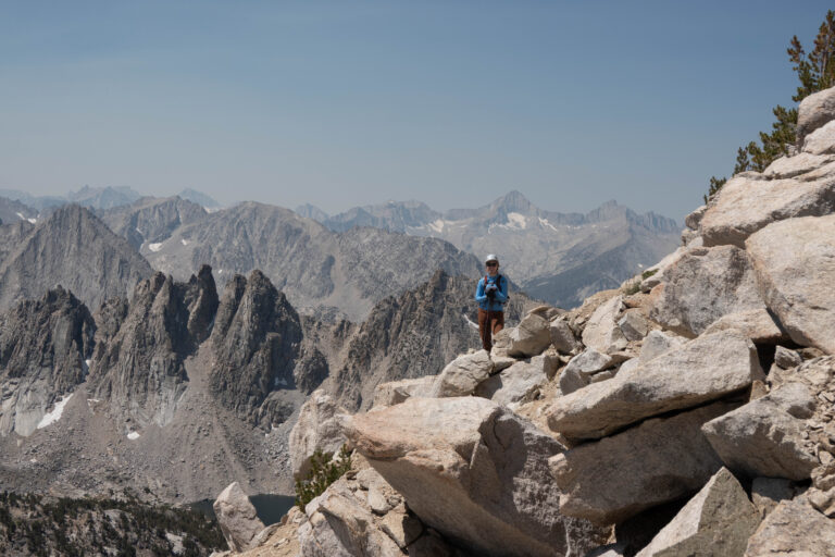
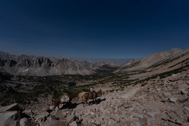
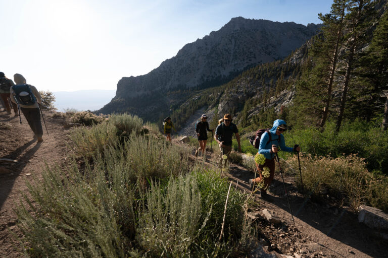
The original beta called the ending ‘ticklish,’ which the group confirmed — not a terrible final climb, but exposed. Lindsay and I were reminded quickly that we hadn’t been at altitude since ski season. We backed off our pace probably too late, regrouping at the first lake and again at the pass. A highlight was a cowboy with a mule towing a horse — not the friendliest, demanding everyone resting at the top move, then needing one of our crew to slap the horse’s behind when it refused a switchback. As we turned up the ridge off-trail, helmets on, Lindsay and I felt the altitude and made the call to turn around partway up the first big section.
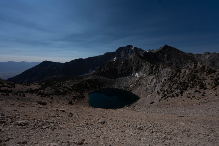
Lindsay and I aren’t quite peak baggers — we enjoy a summit, but we’re there for the views, the nature, and ourselves. Listen to yourself, set turnaround times, and stick to them. We had a snack and a nap under a tree over Heart Lake, then a much nicer nap back at camp.
— routes
MB
Trail Journal
GPX · Photos · Heatmap
Browse Routes
Open any route card to focus the map, inspect stats, trace elevation, and browse media.
Photo Markers
Open a route card to browse photos geotagged along the trail. Enable the Photos layer to see photo markers on the map.
Heat Map
Enable the heat layer in the layers panel to reveal route density across the current map data.
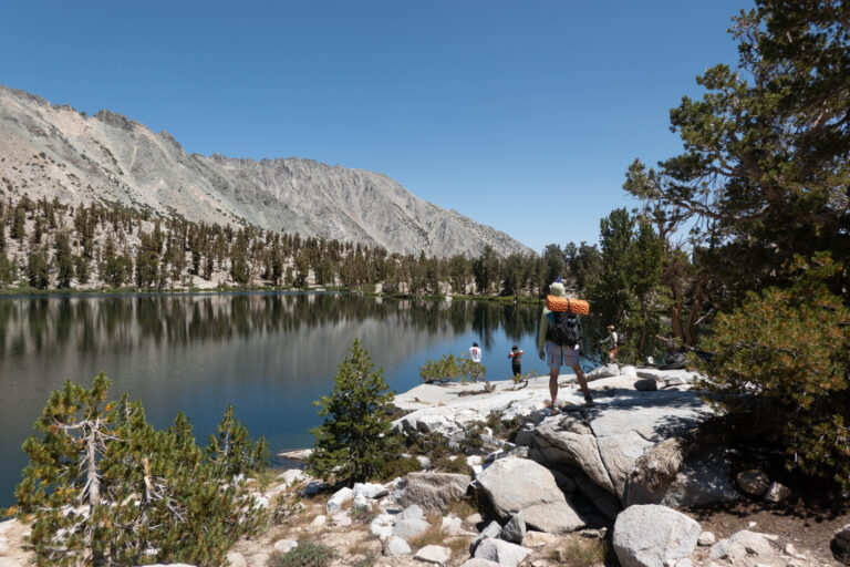
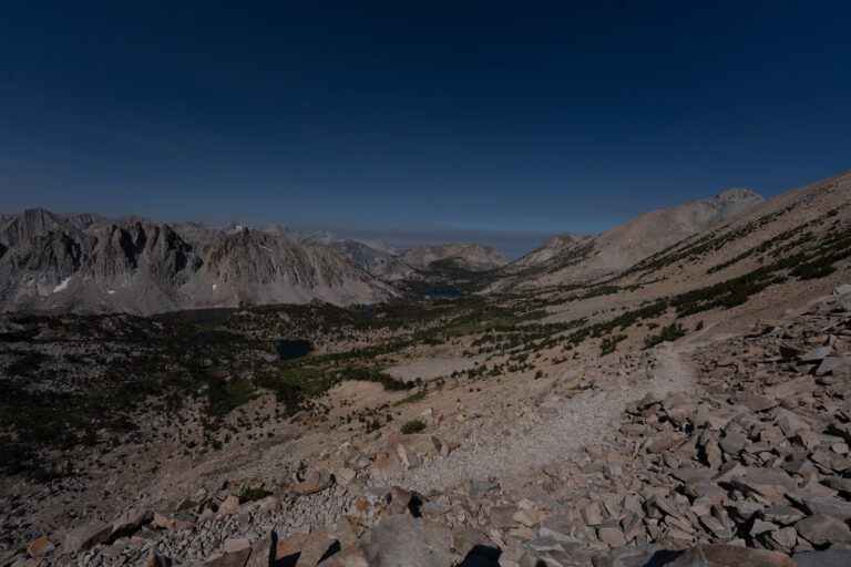
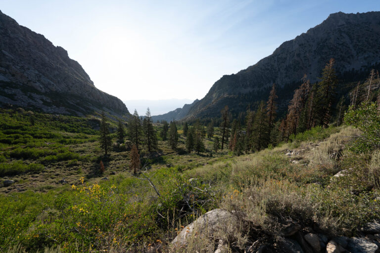
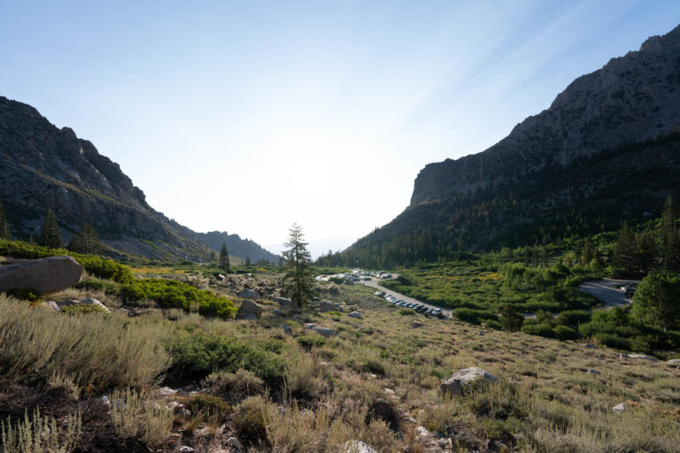
Onion Valley is the end of the road above Independence — the pavement quits at the campground around 9,200 feet and the trail takes over. Kearsarge Pass (11,760 ft) is the crossing over the Sierra crest into Kings Canyon, and it’s one of the main resupply exits for JMT and PCT hikers, so you’ll pass a steady parade of through-hikers coming the other way. Mt. Gould (13,005 ft) sits just off the pass — a class-2 scramble up the ridge, a short but exposed add-on for anyone bagging peaks.
If you go
Getting there: from US-395 in Independence, take Market Street west. It becomes Onion Valley Road and dead-ends at the campground trailhead about 15 miles up, climbing the whole way.
Permits: overnight trips need an Inyo National Forest wilderness permit year-round. The Kearsarge Pass quota runs 60 people a day from May through November, reserved on Recreation.gov up to six months out — about a third of the slots are held back as walk-ups released two weeks ahead. Day hikes don’t need one.
Season & gear: roughly June through October; the road closes with snow from November to April. It’s bear-canister country — required, not suggested — and altitude is the real obstacle if you haven’t been up high lately, so a night at the campground to acclimate is worth it.