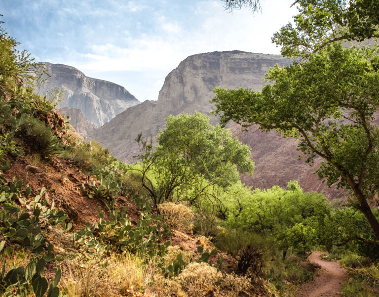
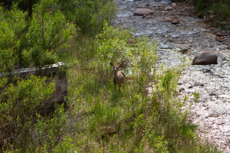
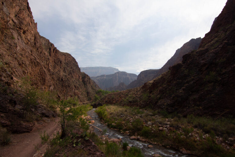
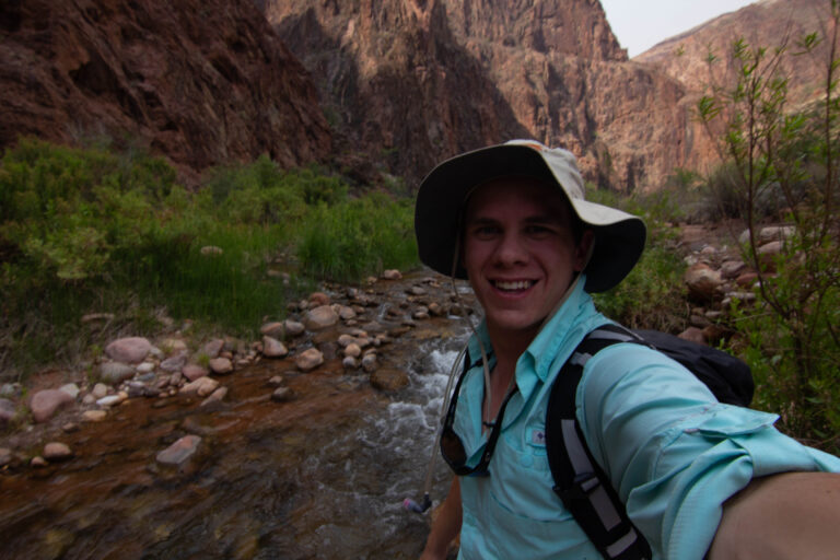
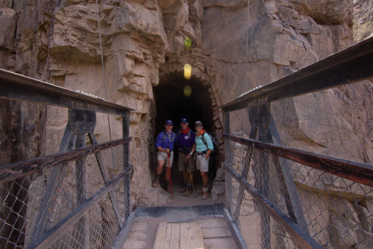
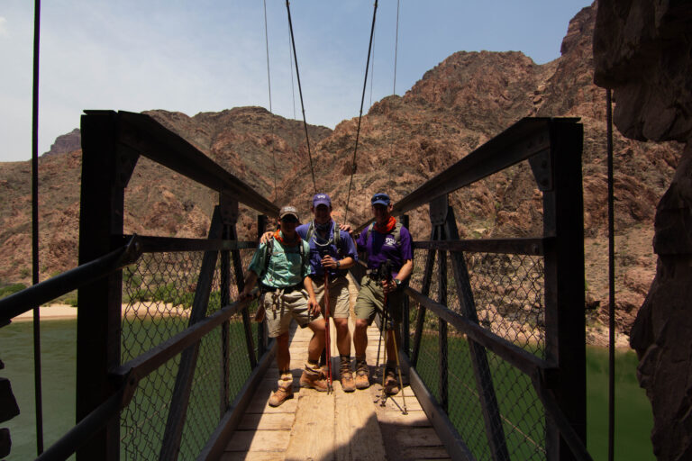
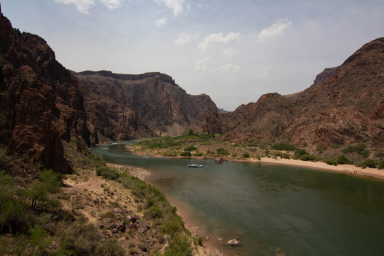
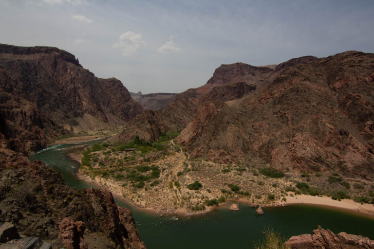
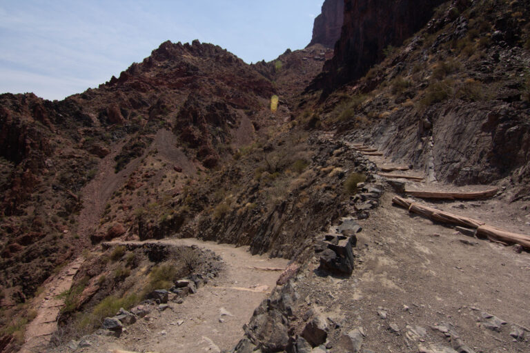
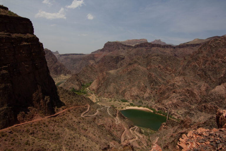
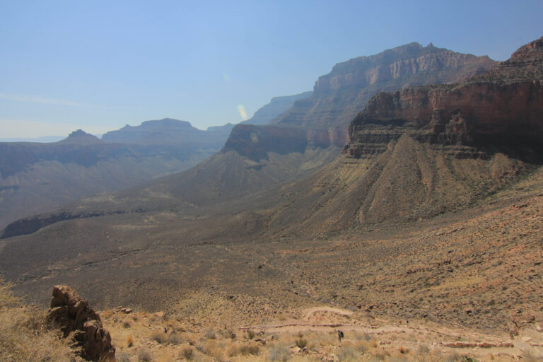
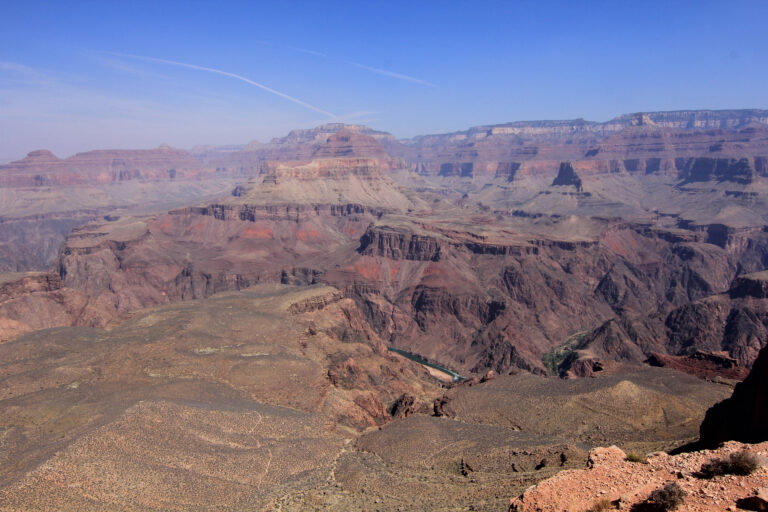
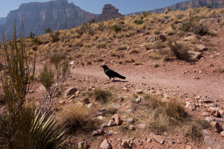
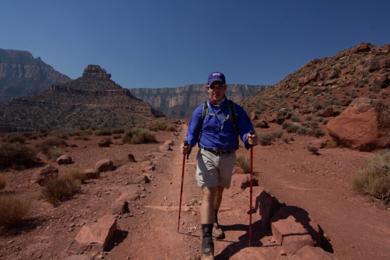
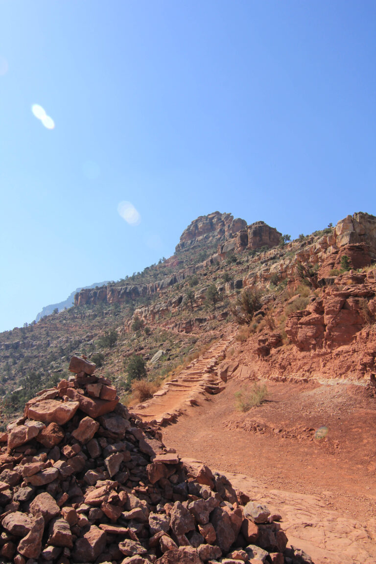
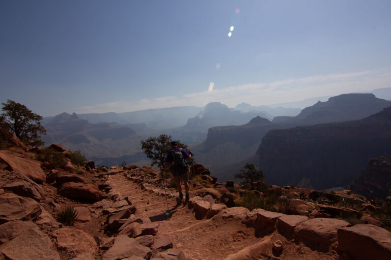
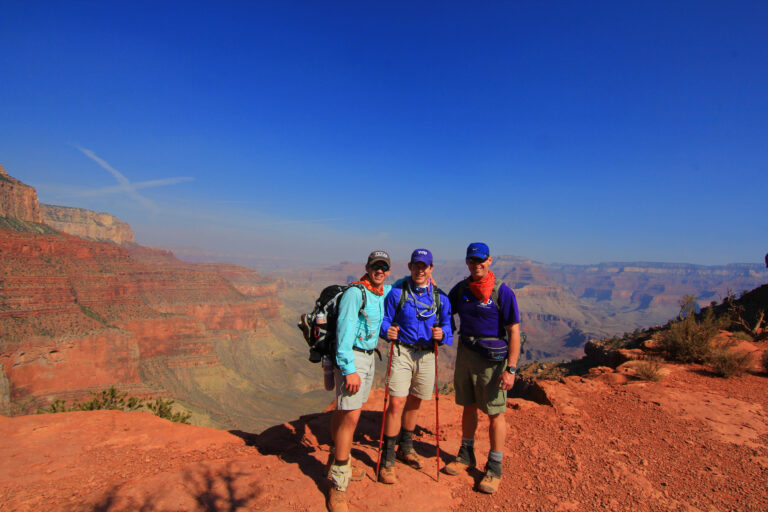
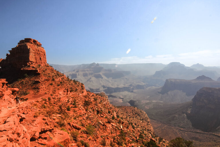
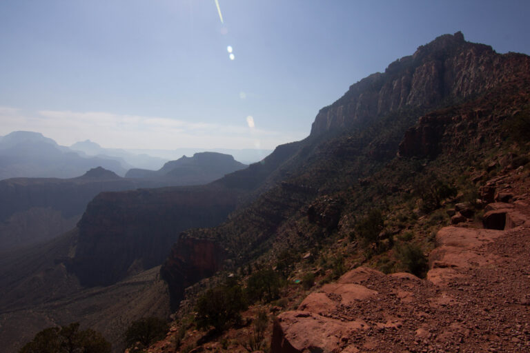
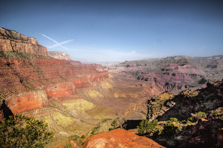
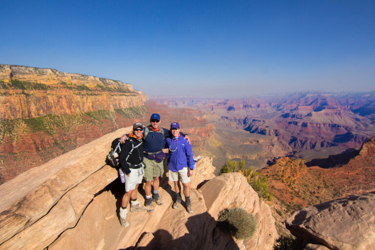
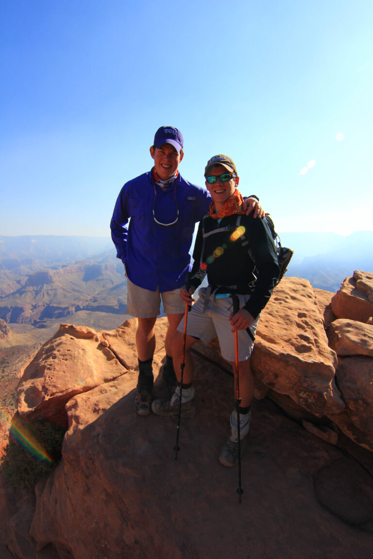
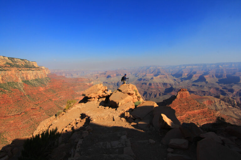
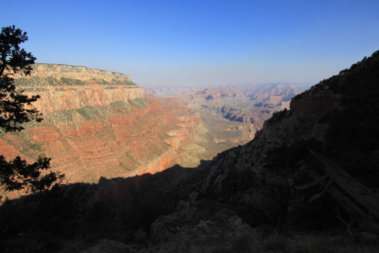
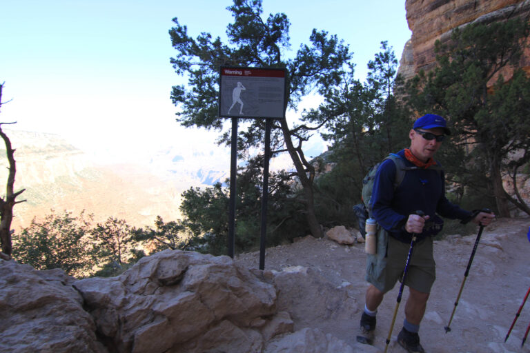
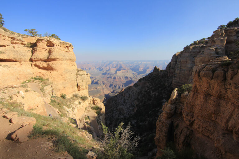
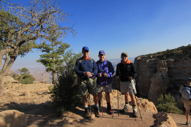
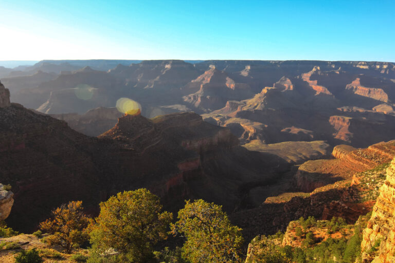
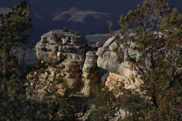
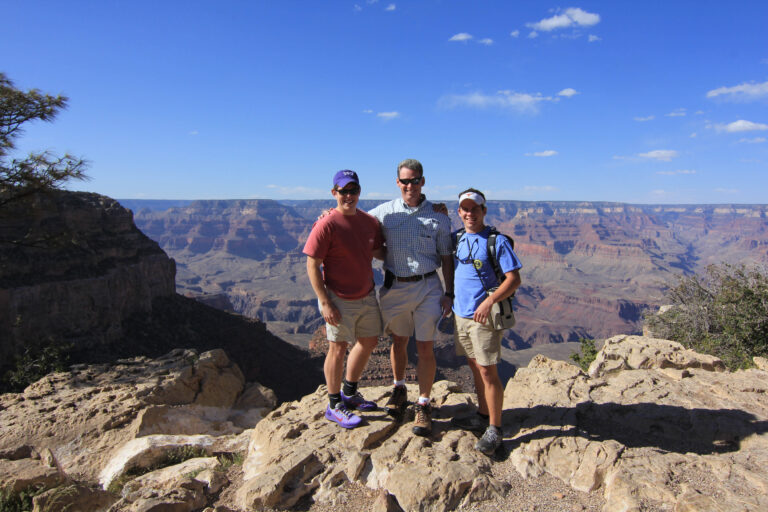
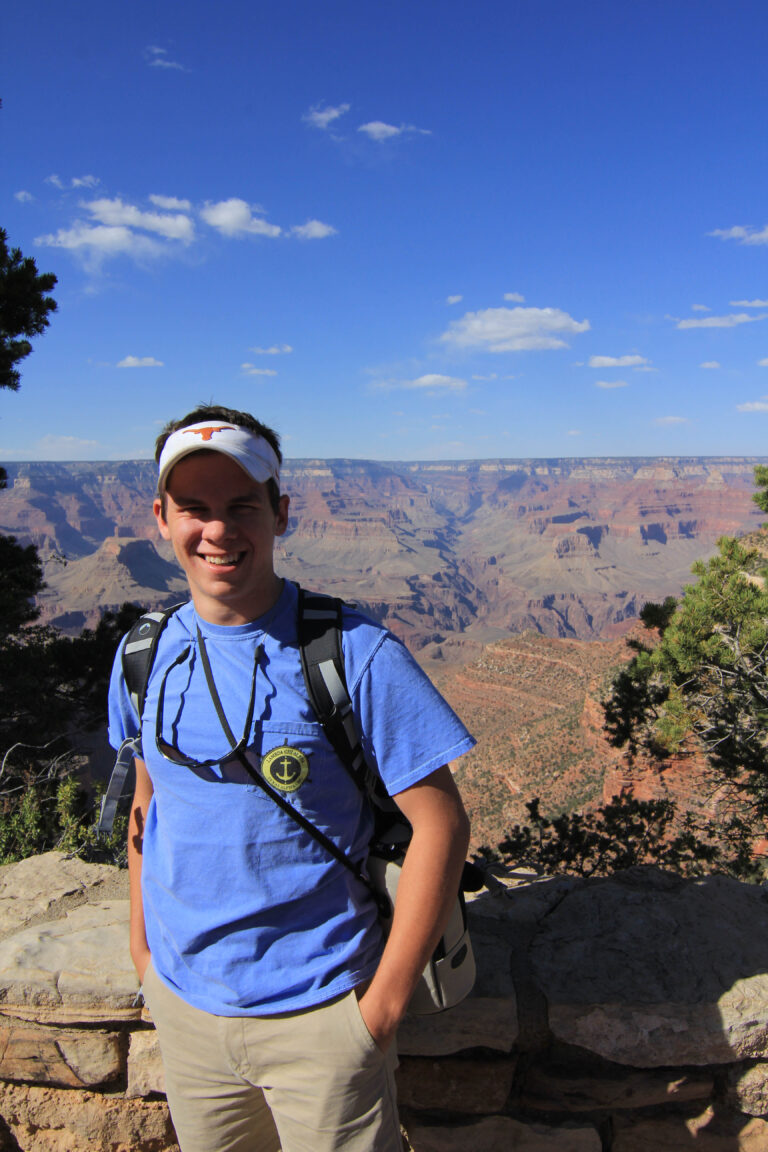
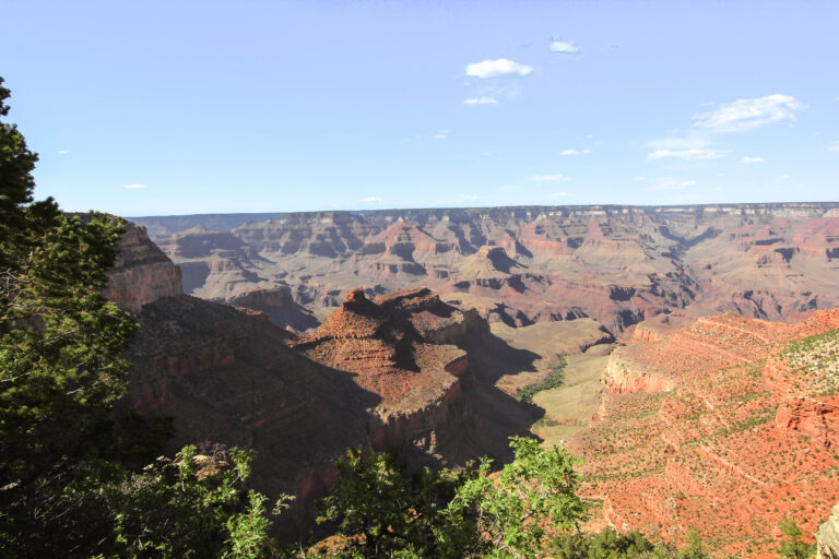
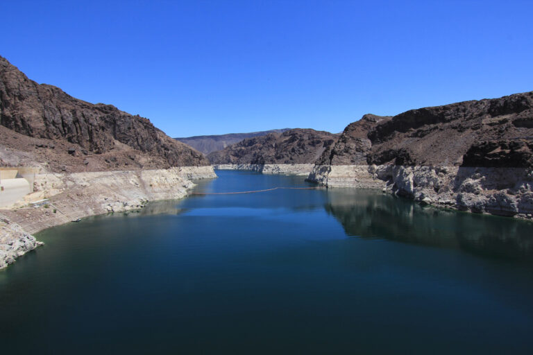
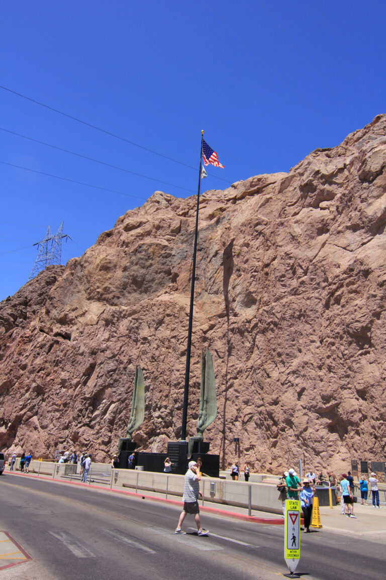
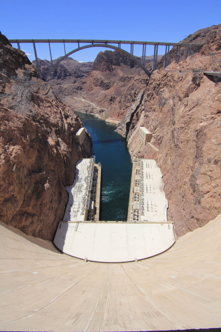
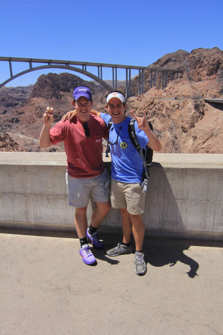
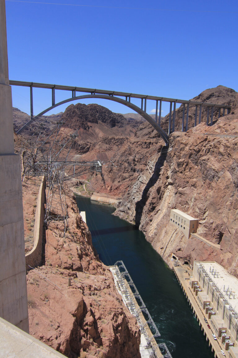
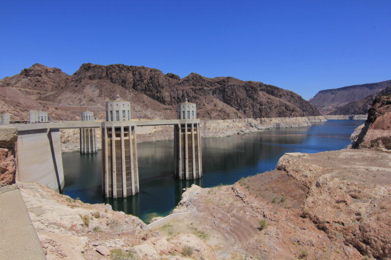
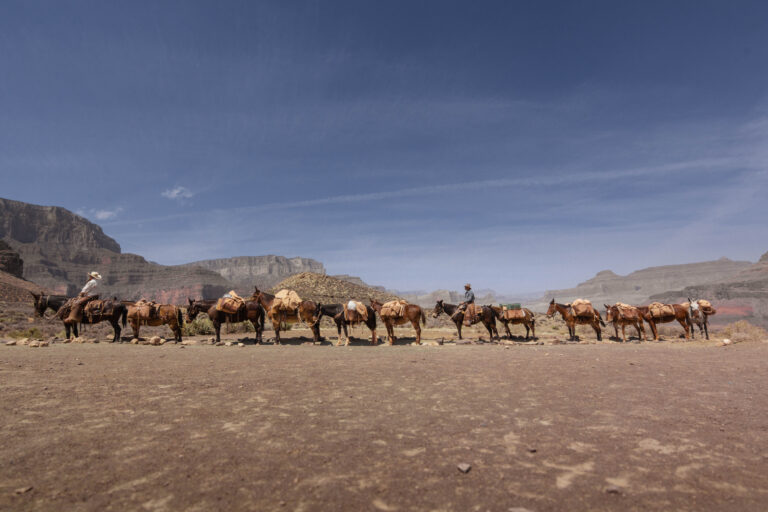
Grand Canyon trip with my brother and my dad, where we extended my dad’s work conference in Vegas. We stopped by the Hoover Dam, stayed on the South Rim, and went down the South Kaibab Trail to Phantom Ranch where we stayed in the bunks.
May 19, 201436.0544°N 112.1401°W
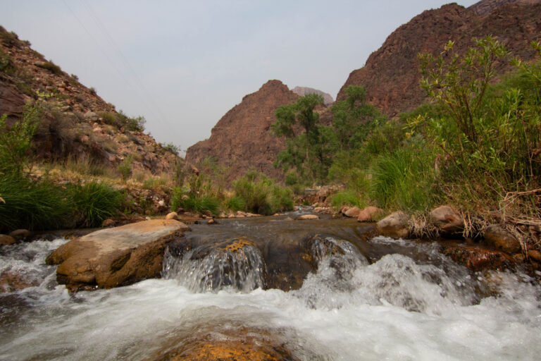
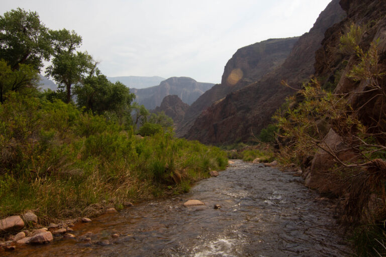
My dad has done the Grand Canyon probably over 30 times in various ways — it’s his favorite, and he had the call-in reservation system down. It has since changed, and the bunks seem to be closed now. One of my first ‘big’ hikes. We came up the River Trail to Indian Gardens, up the Bright Angel Trail, and then home.
I got a low-pro hiking pack to do my first overnight with a camera too, which I was hesitant about — kind of a kick start to my photo hiking, with my 60D from Canon.
— routes
MB
Trail Journal
GPX · Photos · Heatmap
Browse Routes
Open any route card to focus the map, inspect stats, trace elevation, and browse media.
Photo Markers
Open a route card to browse photos geotagged along the trail. Enable the Photos layer to see photo markers on the map.
Heat Map
Enable the heat layer in the layers panel to reveal route density across the current map data.
This is the classic rim-to-river-to-rim. Down the South Kaibab to the Colorado is about 7 miles with no water and almost no shade; out via the Bright Angel runs closer to 10 miles with seasonal water and a little more cover. Most people split it with a night at the bottom rather than doing the whole thing in a day.
When to go: spring and fall. Inner-canyon highs run well over 100°F in summer, and the Park Service openly warns against hiking to the river and back in a day in that heat. Winter brings snow and ice up top — South Kaibab’s first mile gets slick, so traction devices earn their weight.
Sleeping at the bottom: any below-rim overnight needs a backcountry permit. Phantom Ranch’s dorms and cabins are handed out by a lottery on Recreation.gov roughly 15 months out; the adjacent Bright Angel Campground goes through a backcountry permit. Plan early.