
Places
Big Sur from both sides of a closure
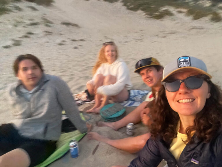
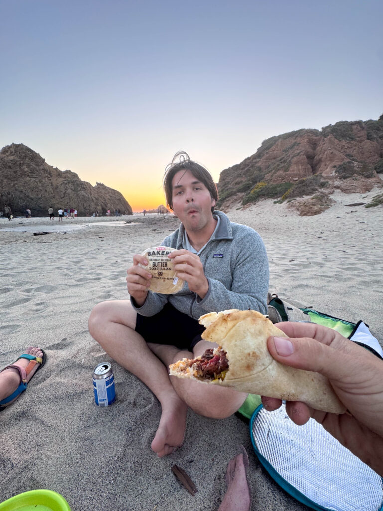
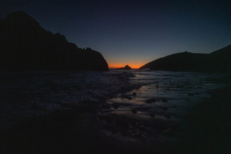
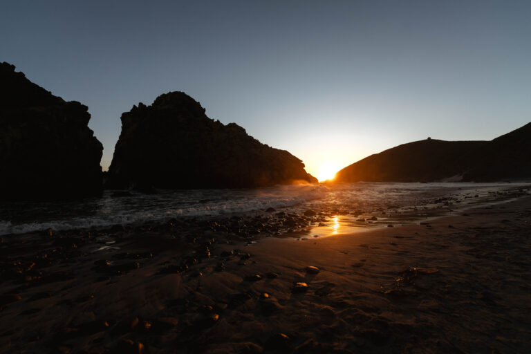
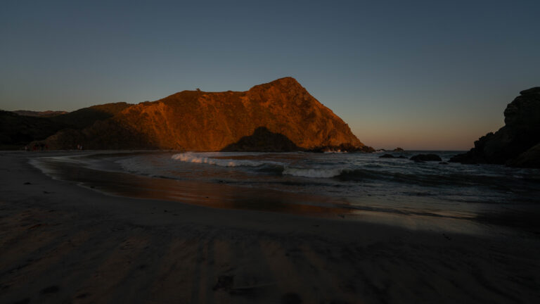
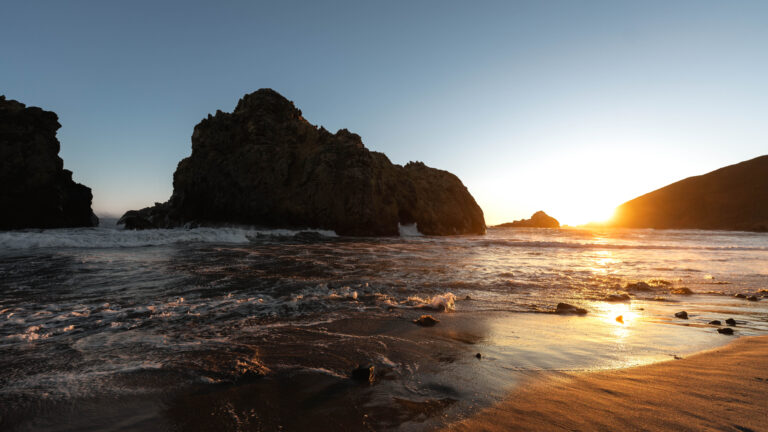
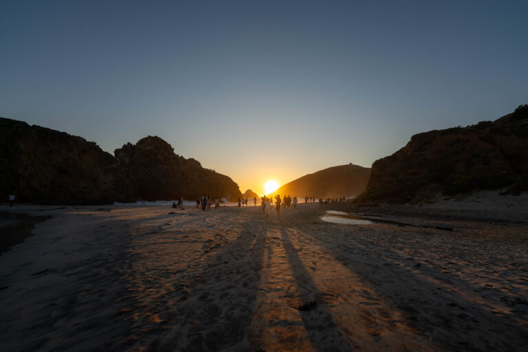
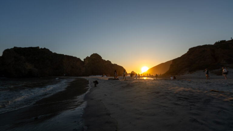
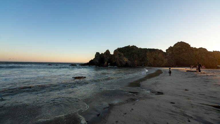
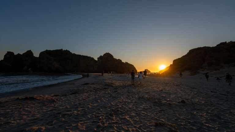
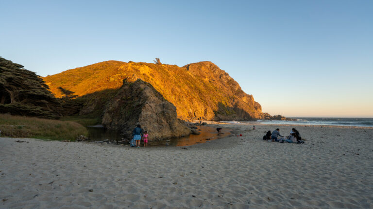
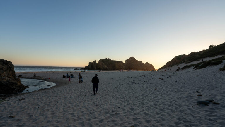
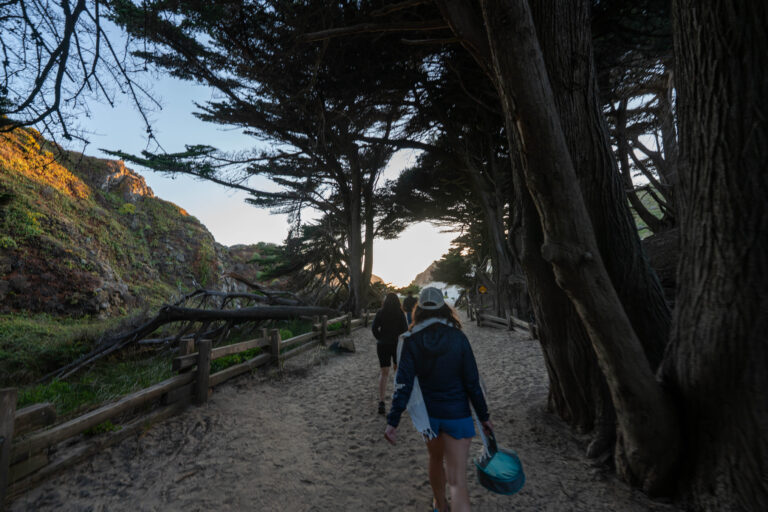
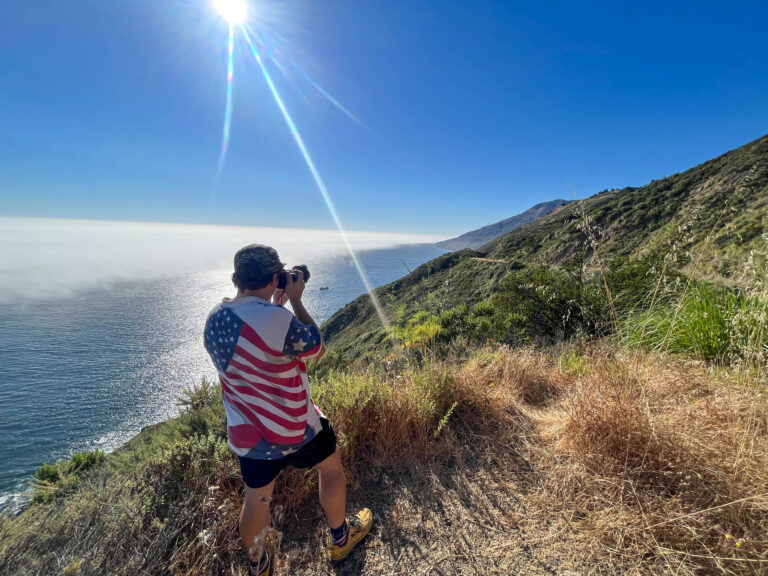
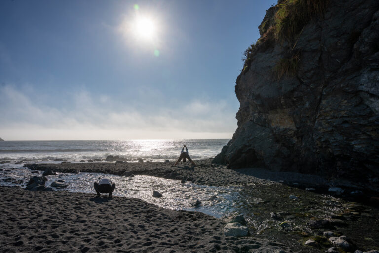
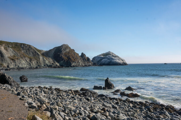
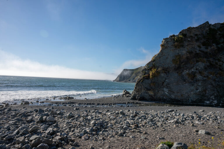
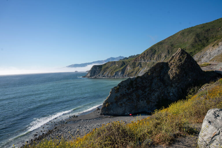
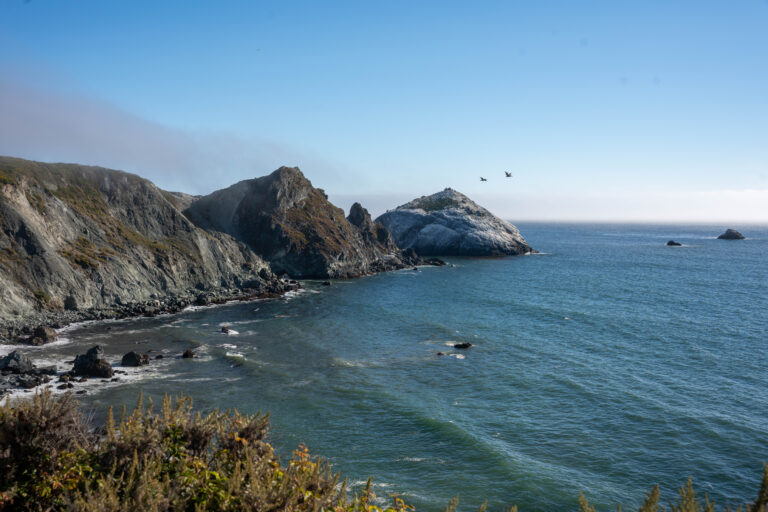
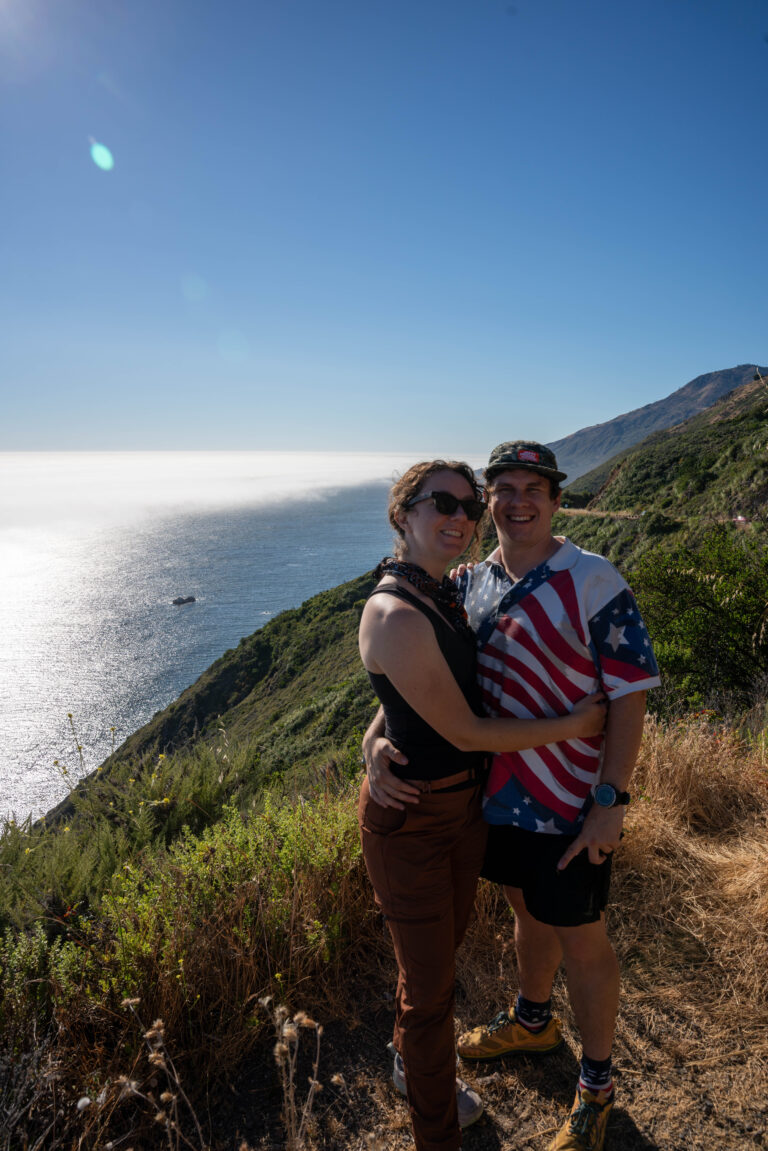
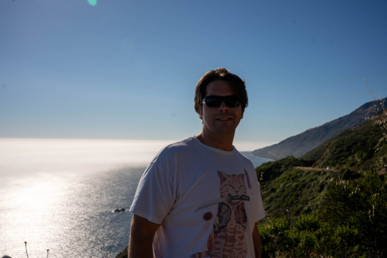
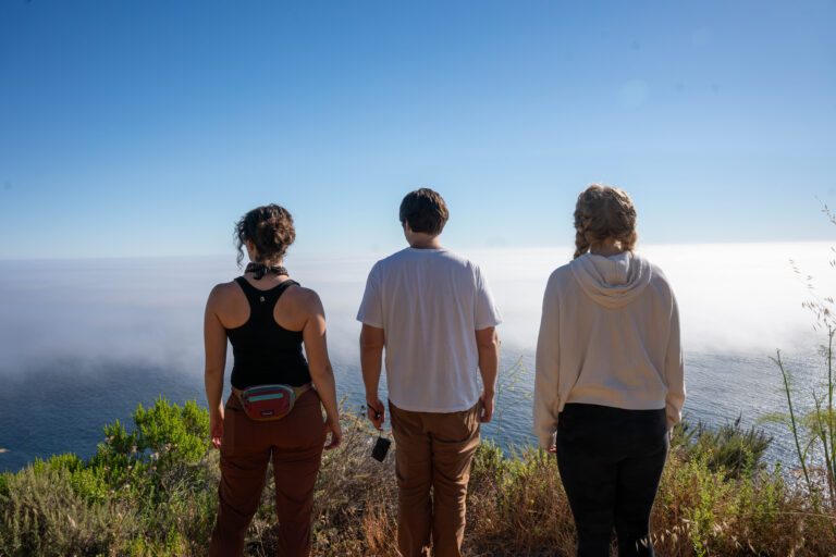
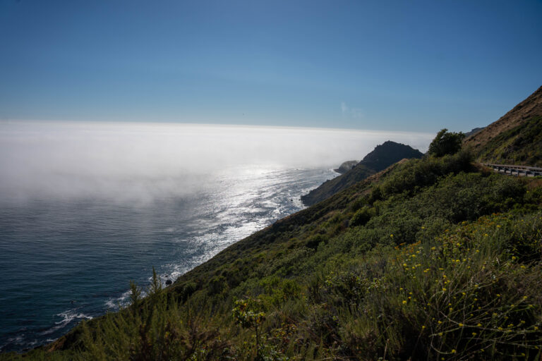
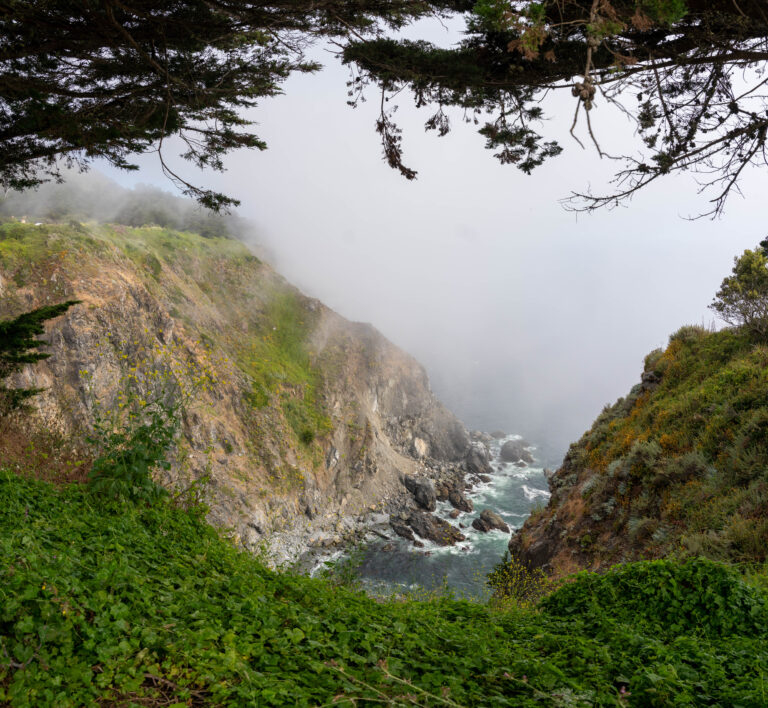
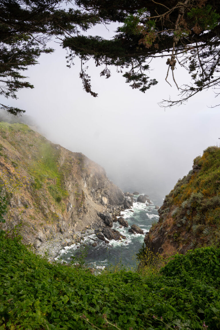
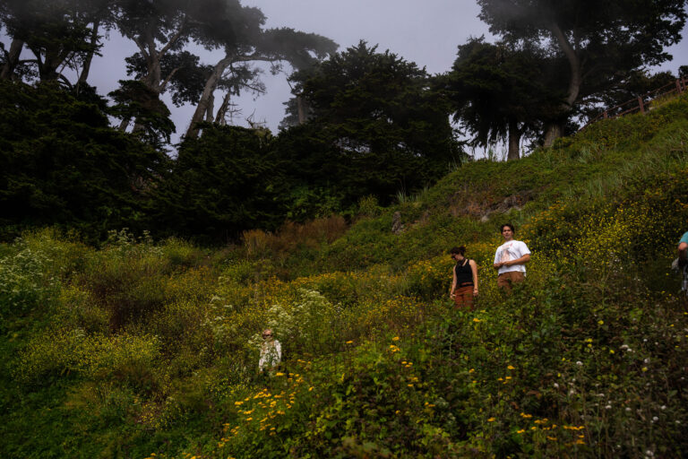
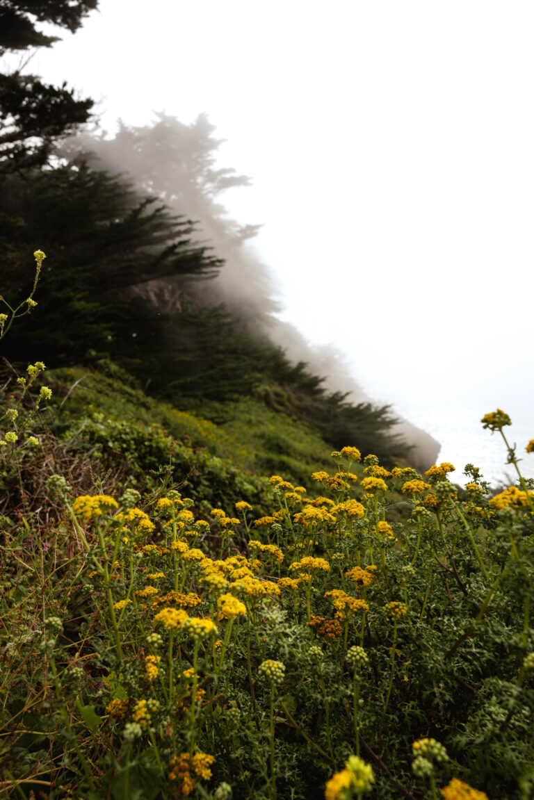
We hit Big Sur from both sides (since there was a closure), and because all of our go-to camping options were shut down. These were split by other parts of our trip, but it also led to us needing to find a hotel room — which proved the hardest thing of the trip; everyone was escaping to the same place. We also hit a new spot on the beach which was paid. We were hesitant, but ended up grilling in the parking lot and walking in (I keep a foldable insulated plate that came in handy) and caught the sunset. Didn’t get to touch any dirt in the truck.
Background
Big Sur is the stretch of Highway 1 where the Santa Lucia Mountains fall straight into the ocean, and the single defining fact about it is that the road slides — closures sever the route for months at a time, which is why you sometimes have to hit it from both ends as two dead-end legs.
If you go
This is the Big Sur reality: Highway 1 slides close sections for months at a time, which can sever the coast and force you to approach as two separate dead-end legs from north and south, exactly as we did. Pair that with a holiday weekend and the Los Padres campgrounds full or closed, and a bed becomes the scarce resource. Check Caltrans for the current closure map before you plan the route at all.