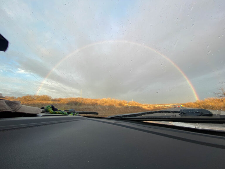
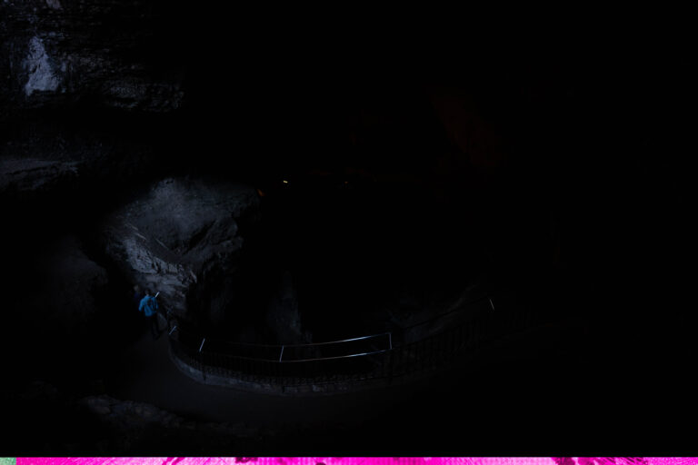
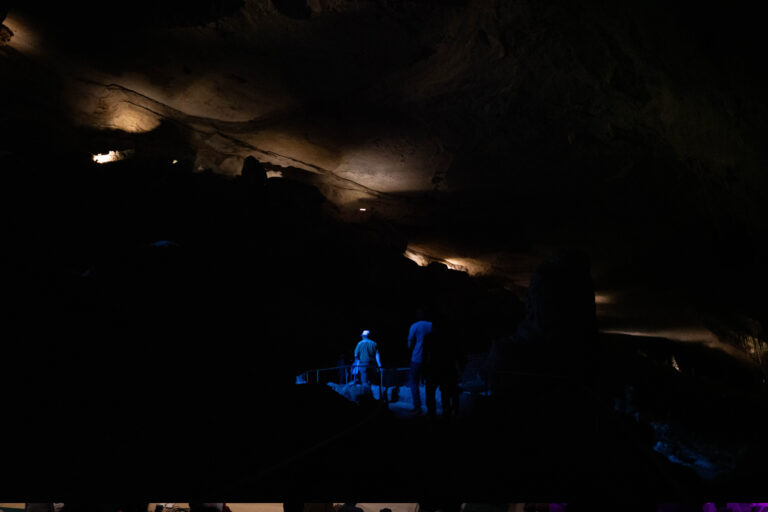
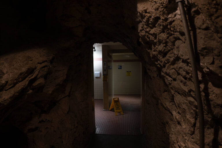
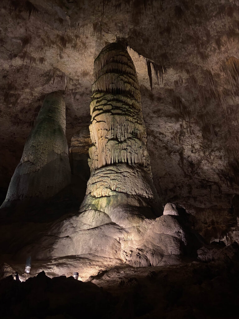
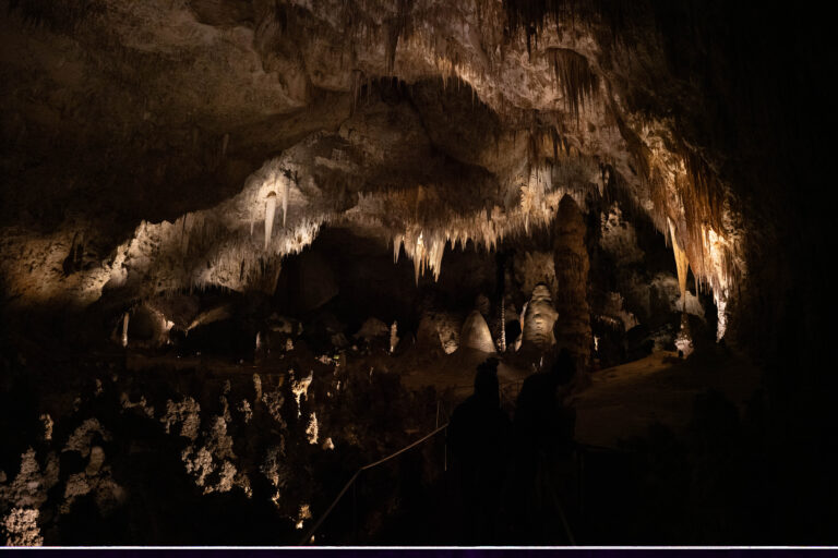
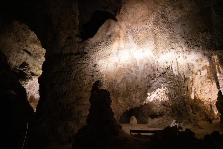
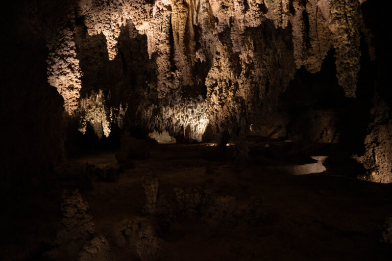
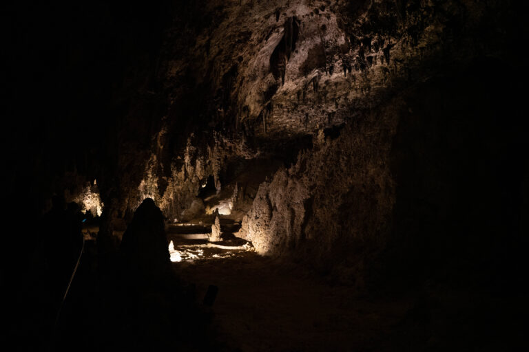
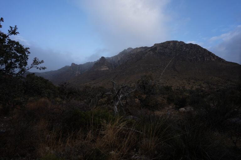
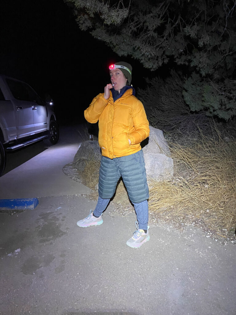
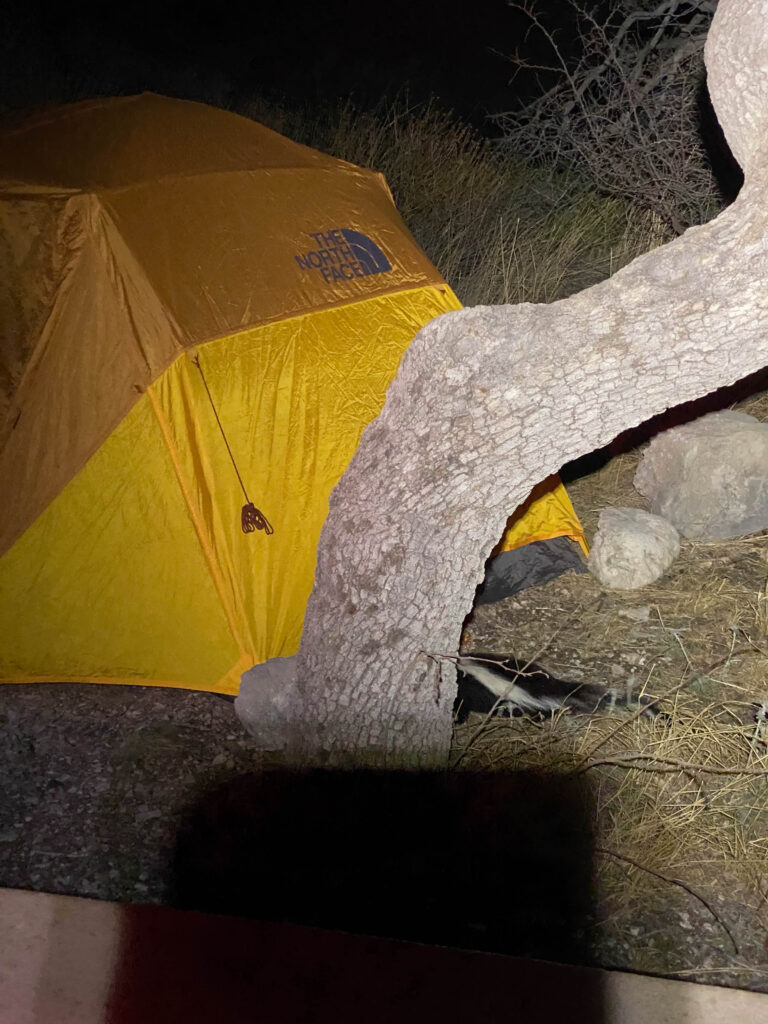
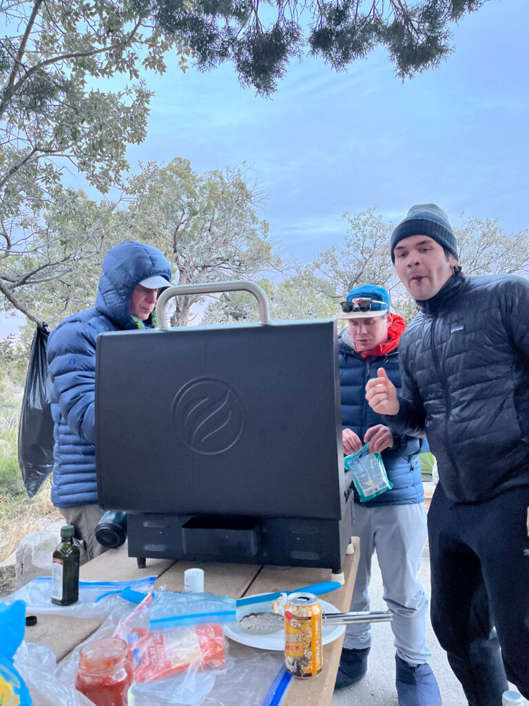
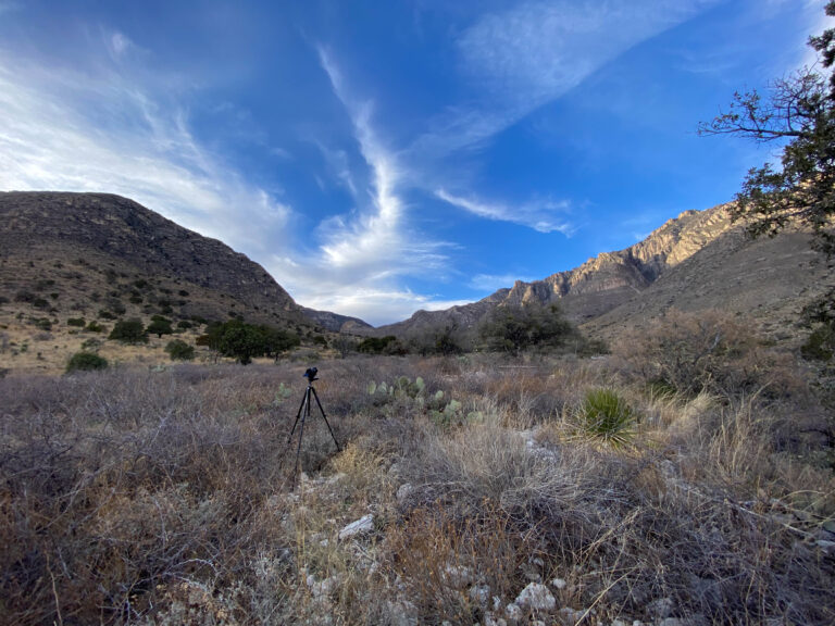
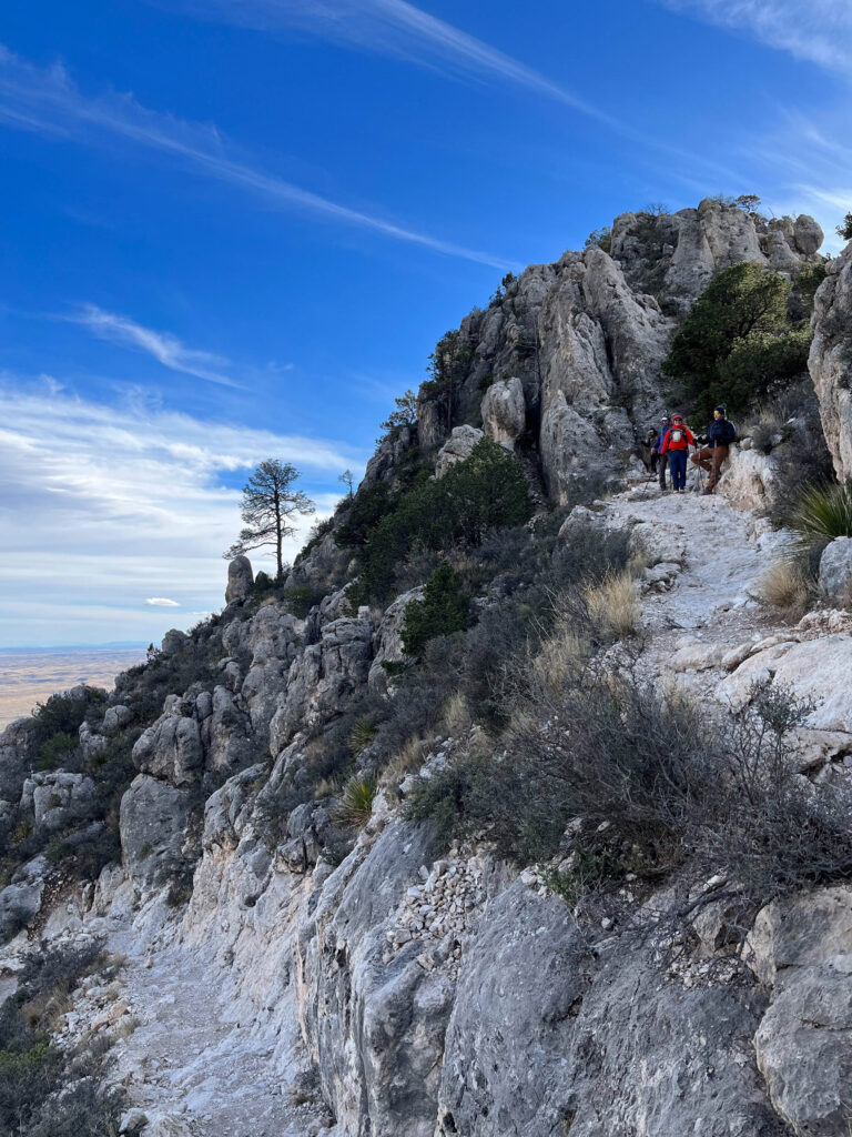
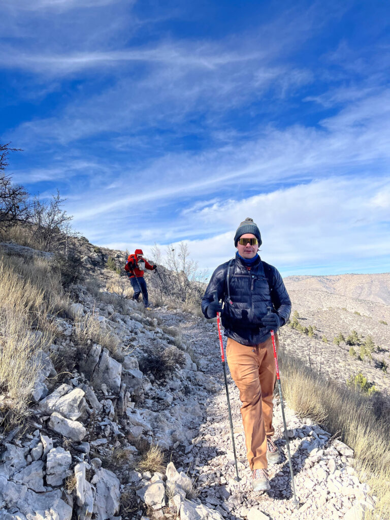
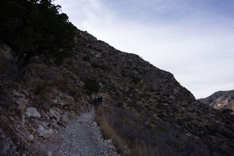
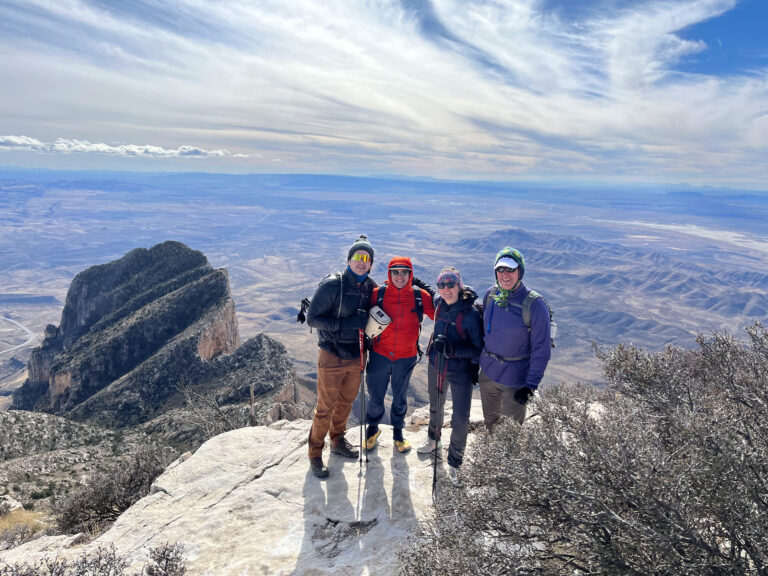
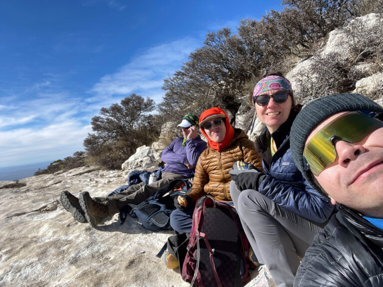
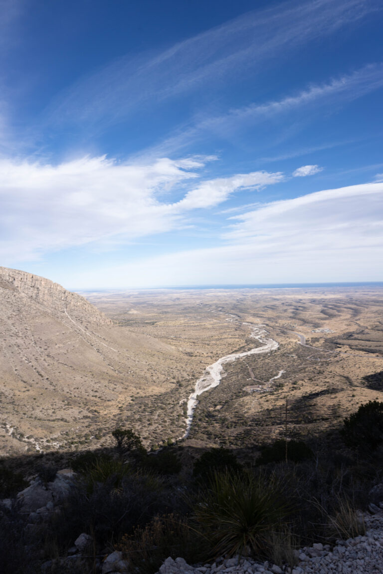
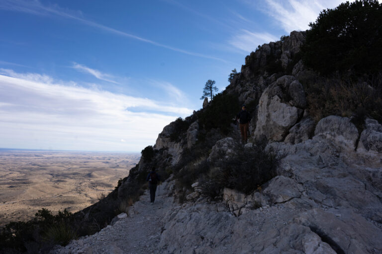
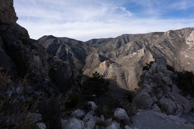
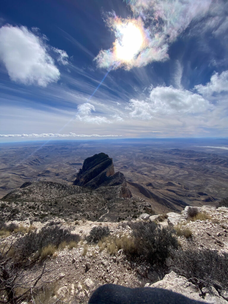
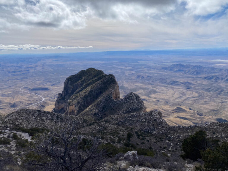
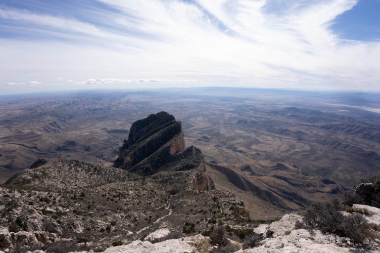
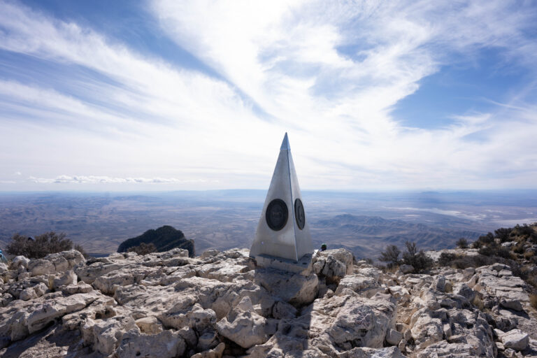
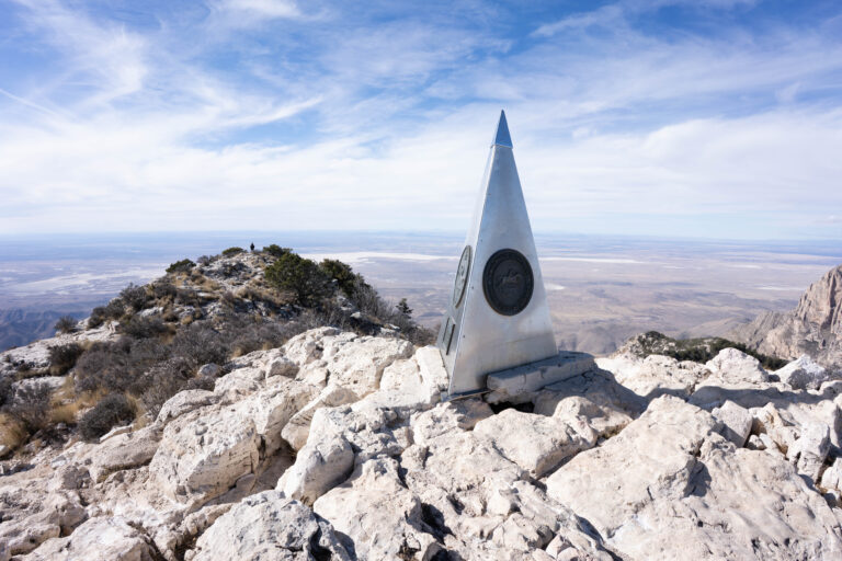
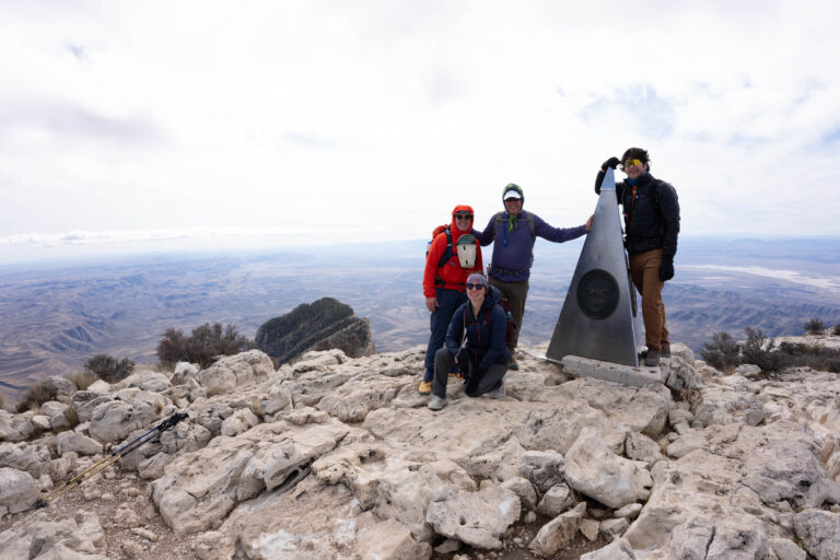
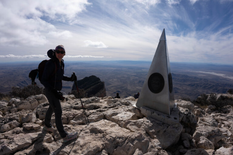
A stopping point for our winter-break road trip from Fort Worth (the family home) with my dad, Lindsay, and Alex. We poked around the town for night photos and a cozy stay, then did a local hike before continuing on.
December 28, 202230.5880°N 103.8940°W
— routes
MB
Trail Journal
GPX · Photos · Heatmap
Browse Routes
Open any route card to focus the map, inspect stats, trace elevation, and browse media.
Photo Markers
Open a route card to browse photos geotagged along the trail. Enable the Photos layer to see photo markers on the map.
Heat Map
Enable the heat layer in the layers panel to reveal route density across the current map data.
Fort Davis sits high in the Davis Mountains of far West Texas, and the reason it’s a night-photo town is right up the road: McDonald Observatory is here because the skies are among the darkest in the Lower 48. It’s a genuinely cold, high corner of Texas in winter, with Davis Mountains State Park and the old fort for the daytime.
If you go
Fort Davis sits high in the Davis Mountains of far West Texas, and the reason it’s a night-photo town is right up the road: McDonald Observatory is here because the skies are some of the darkest in the Lower 48, and they run public star parties. Davis Mountains State Park and the Fort Davis National Historic Site cover the daytime hiking and history. It’s a genuinely cold, high corner of Texas in winter.