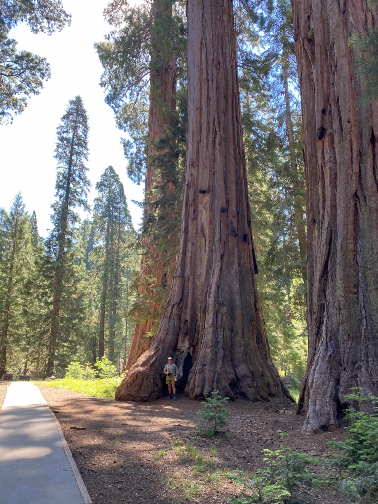
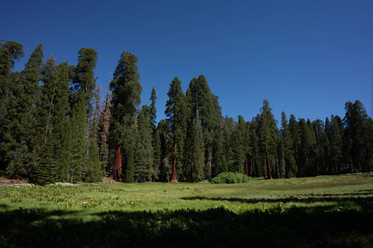
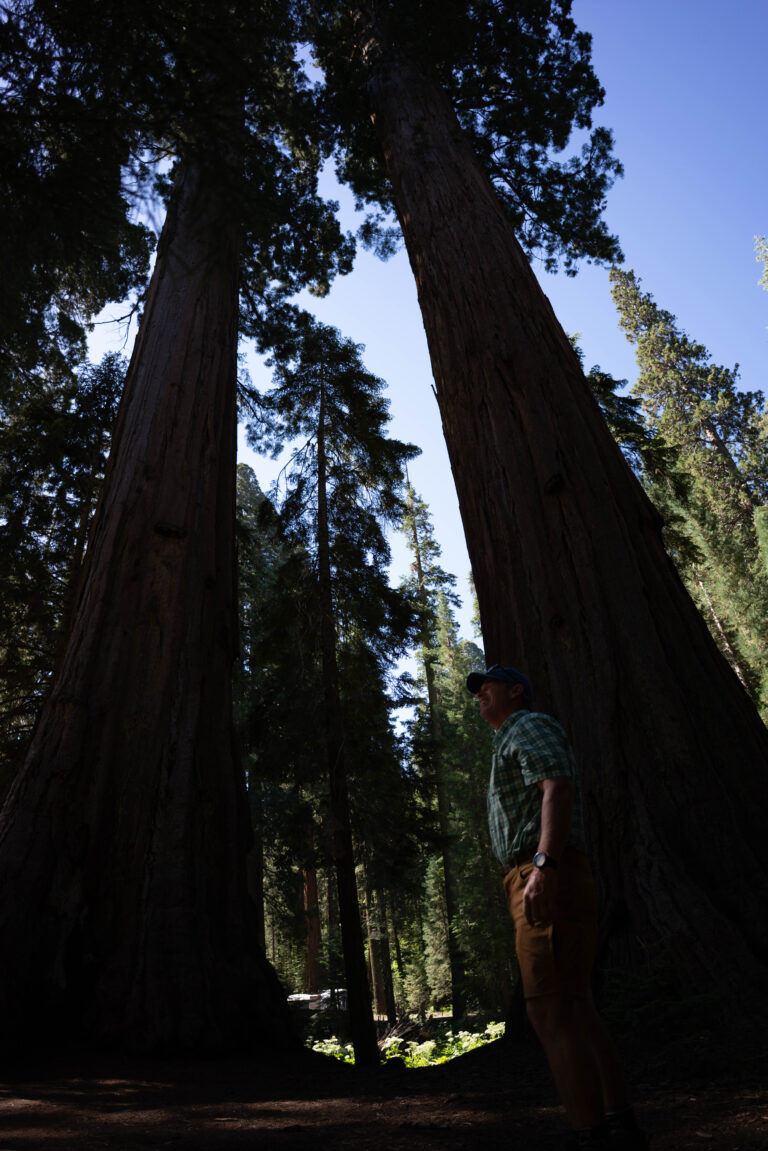
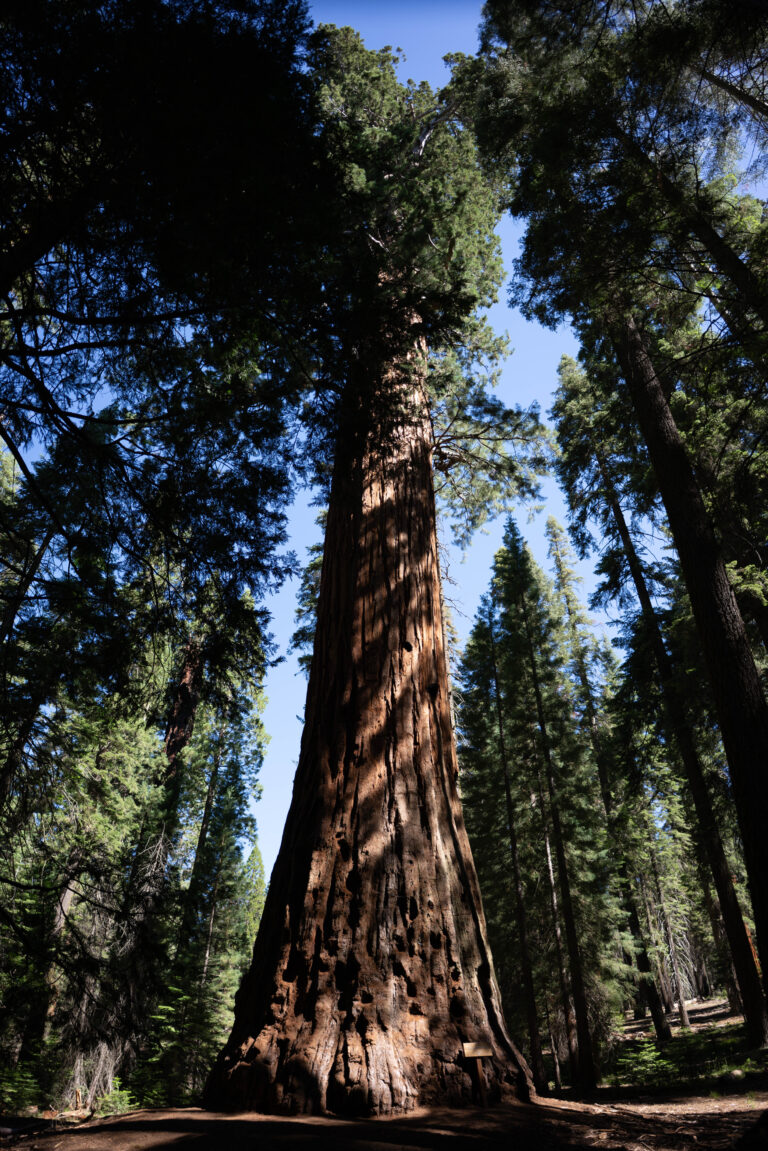
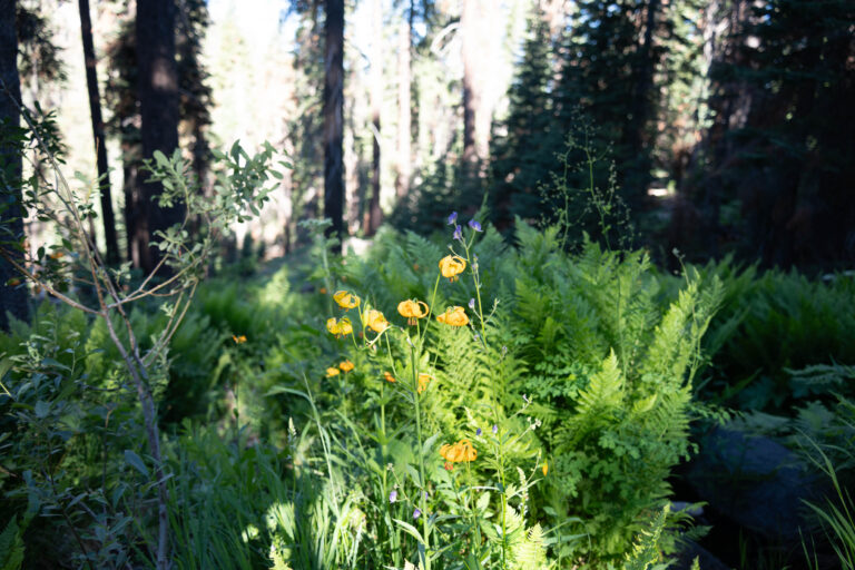
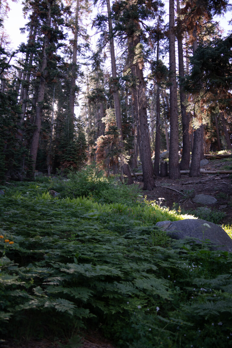
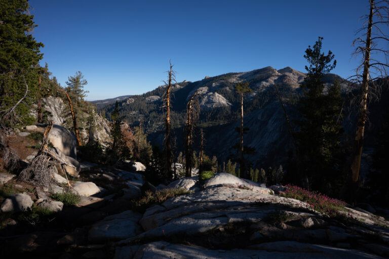
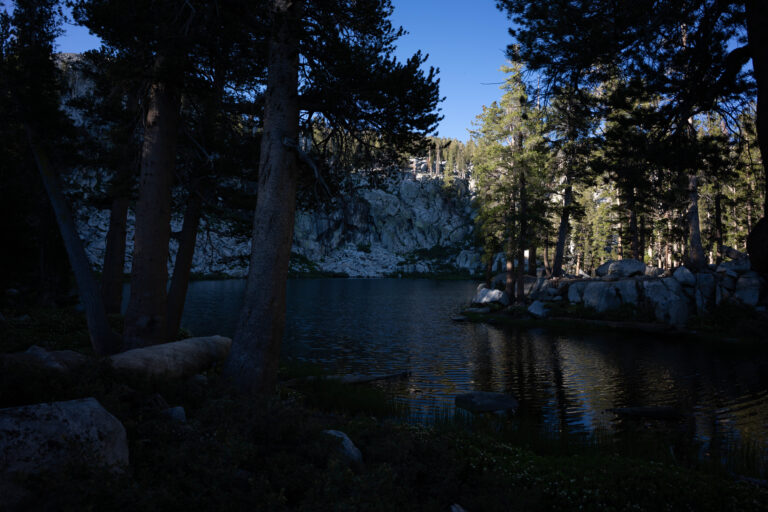
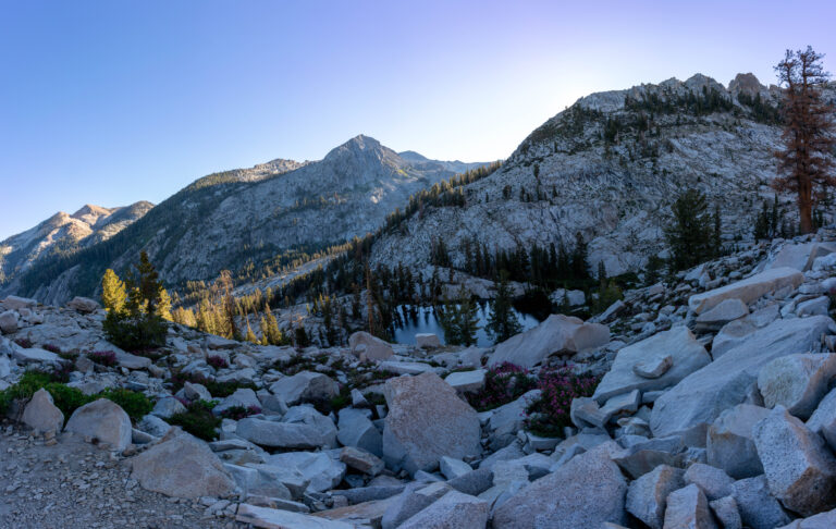
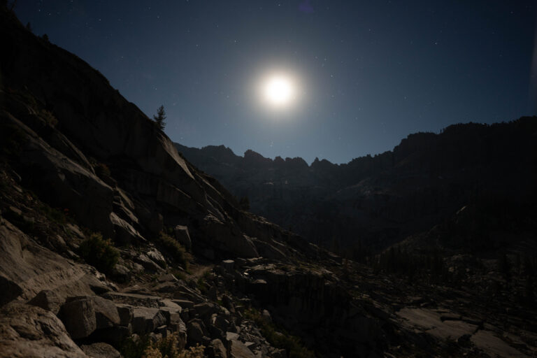
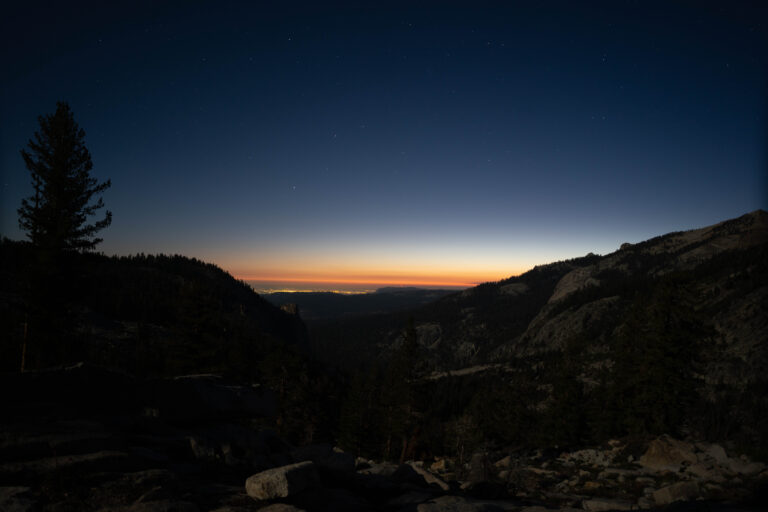
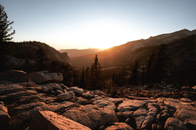
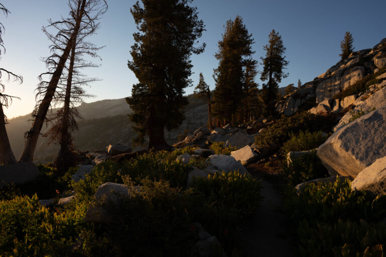
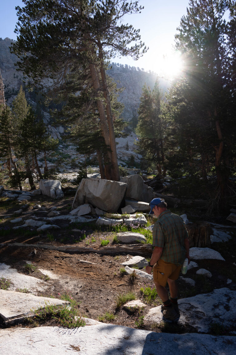
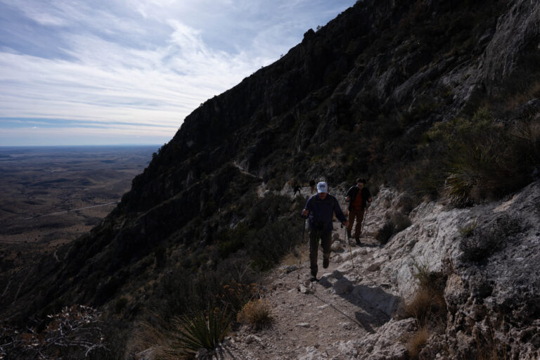
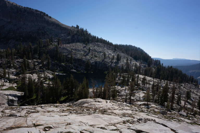
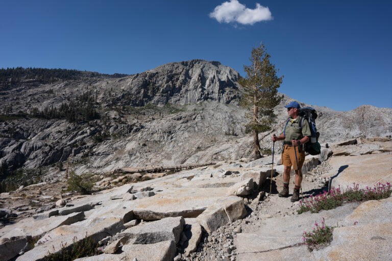
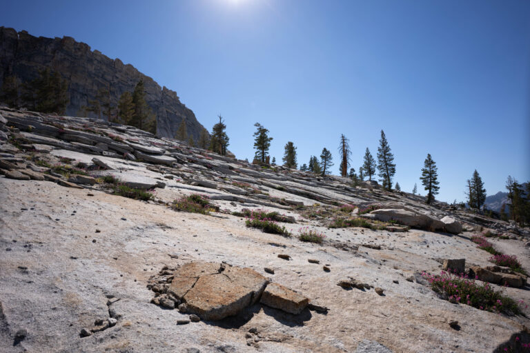
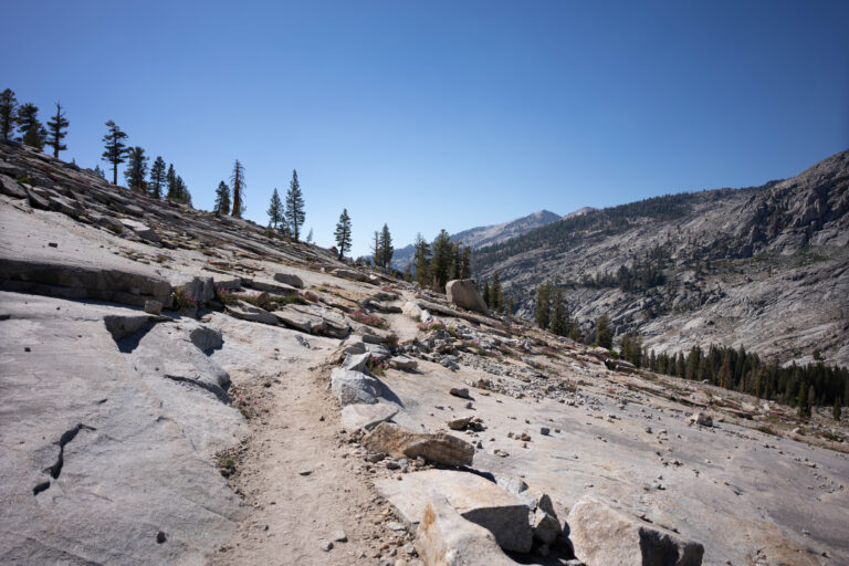
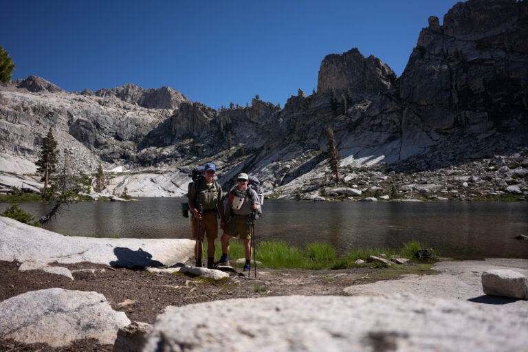
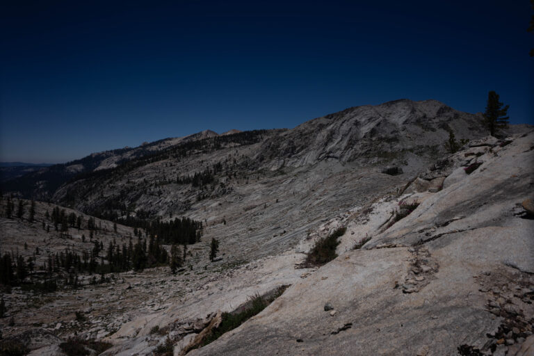
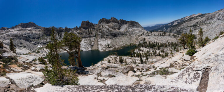
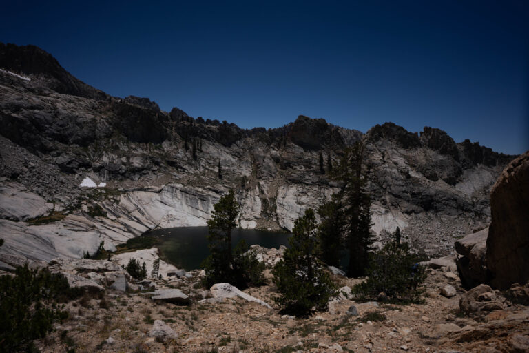
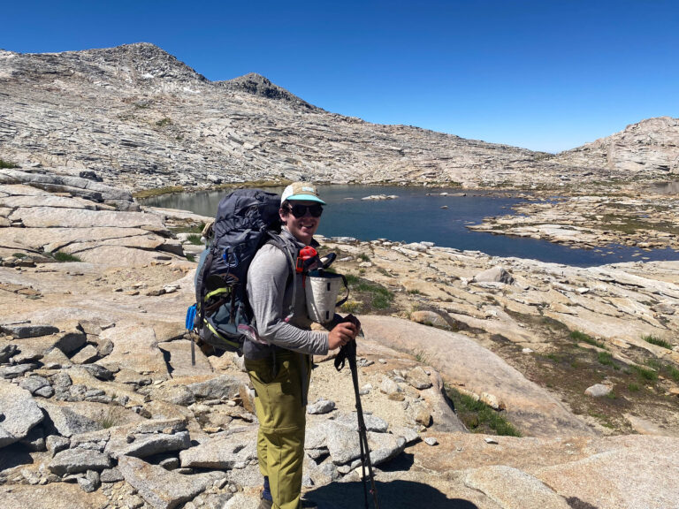
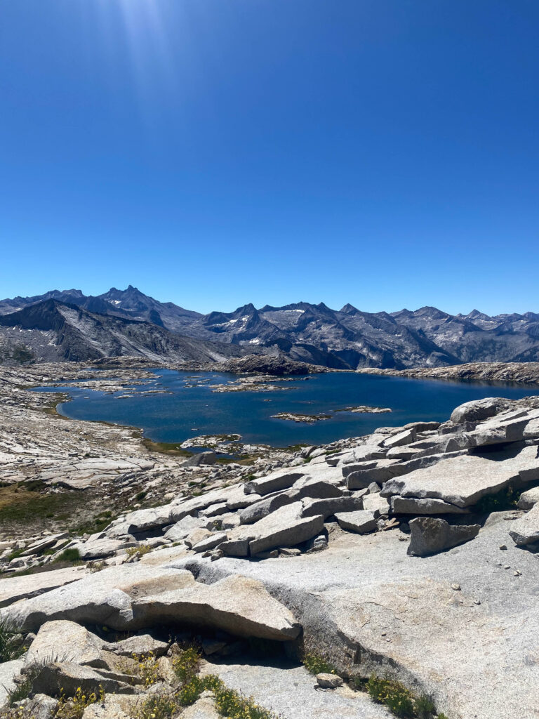
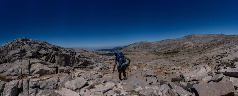
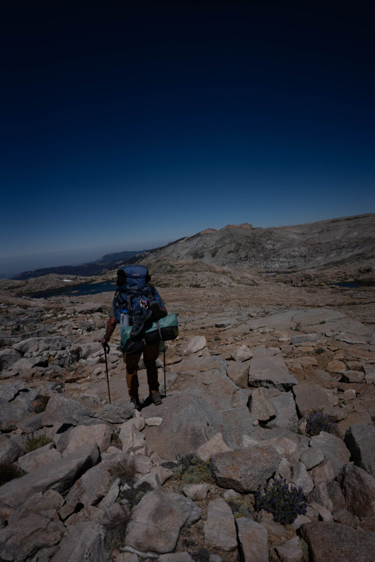
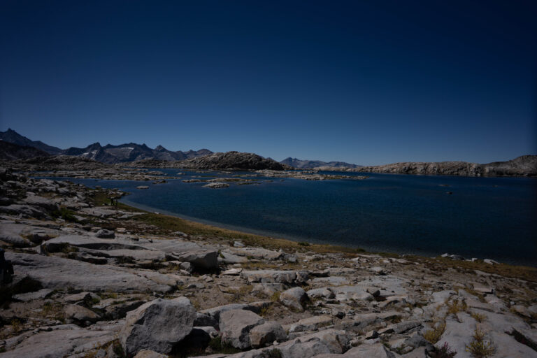
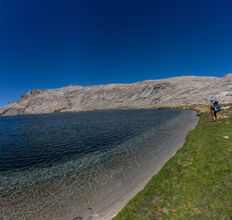
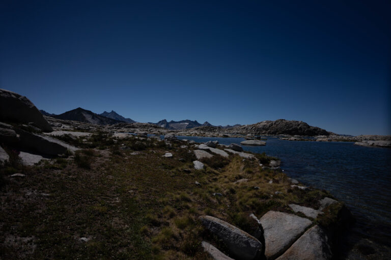
Backpacking with my dad to Alta Peak and Alta Meadows, then off-trail to Moose Lake, making it a loop and finishing through the lakes area to return home. Saw six bears.
July 8, 202236.5650°N 118.5600°W
— routes
MB
Trail Journal
GPX · Photos · Heatmap
Browse Routes
Open any route card to focus the map, inspect stats, trace elevation, and browse media.
Photo Markers
Open a route card to browse photos geotagged along the trail. Enable the Photos layer to see photo markers on the map.
Heat Map
Enable the heat layer in the layers panel to reveal route density across the current map data.
Alta Peak is one of the great view summits in Sequoia National Park — on a clear day it sees from the Great Western Divide to the Coast Ranges. Linking through Alta Meadows and going off-trail to Moose Lake turns it into a real navigation loop instead of a trail march, in country thick enough with bears to make the canister non-negotiable.
If you go
Alta Peak (11,204 ft) is one of the great view summits in Sequoia National Park — on a clear day you can see from the Great Western Divide to the Coast Ranges. Linking through Alta Meadows and going off-trail to Moose Lake turns it into a real navigation loop, not a trail march. Wilderness permit and bear canister required, and the six-bear count tells you they’re not optional out here.