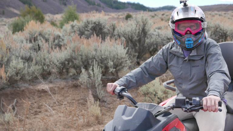
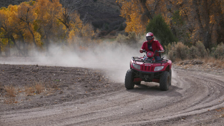
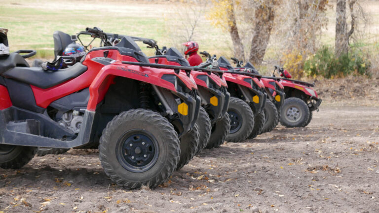
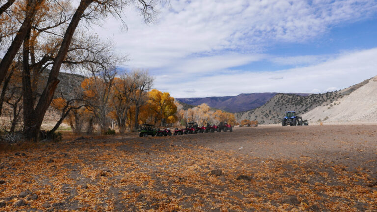
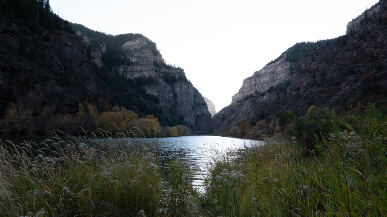
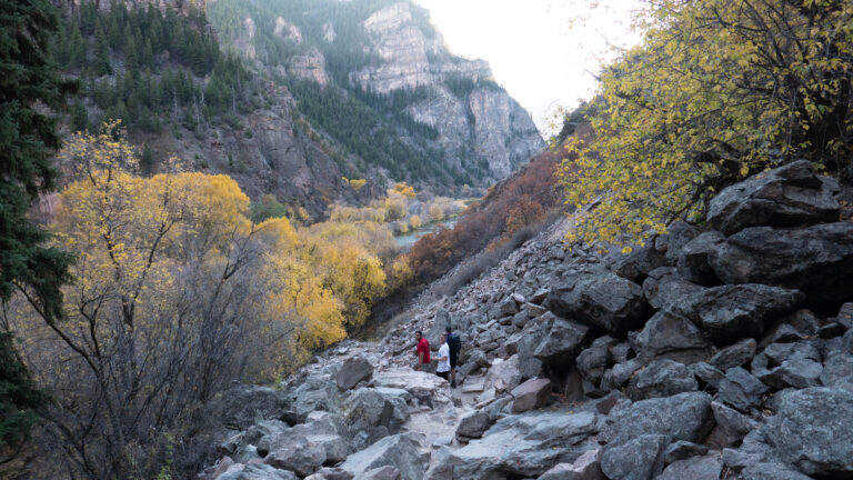
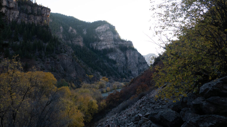
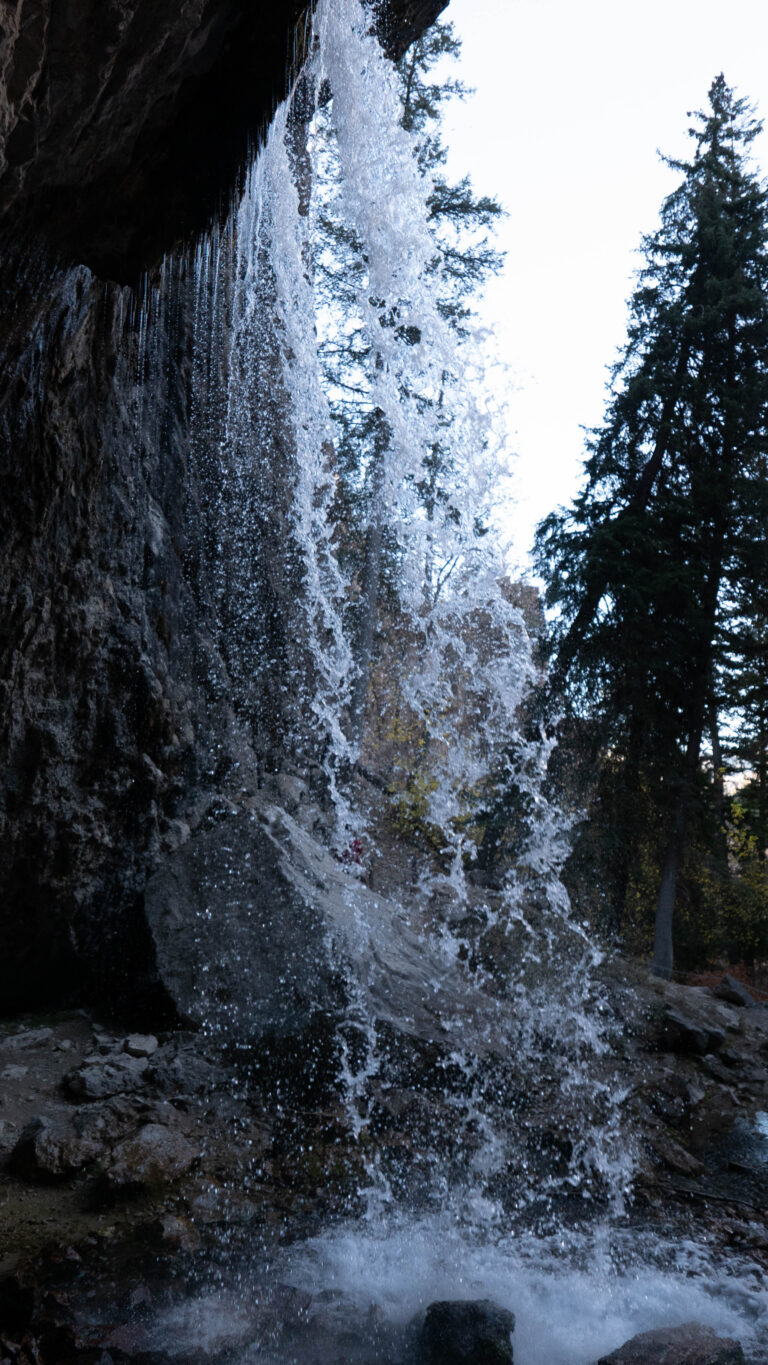
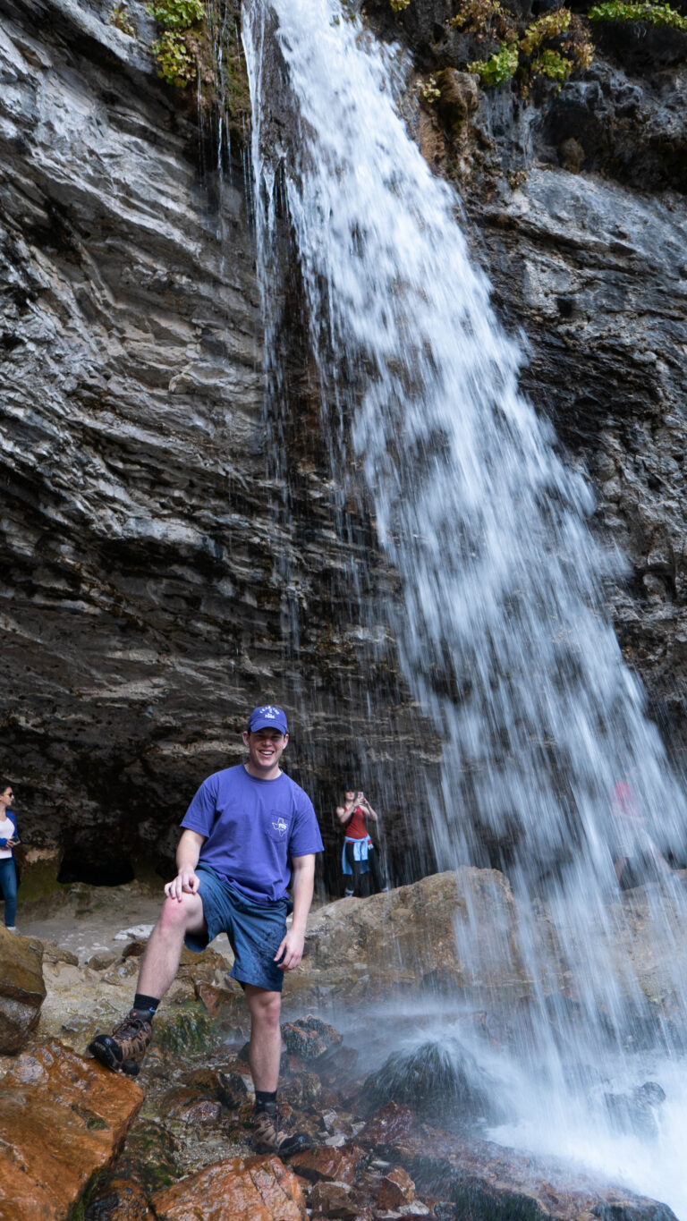
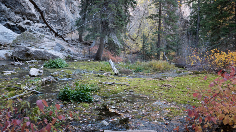
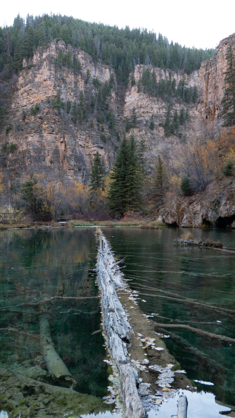
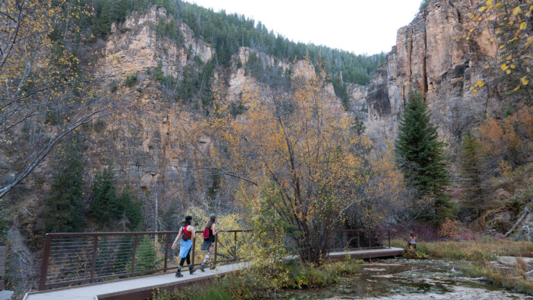
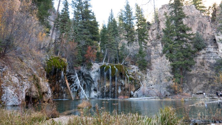
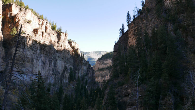
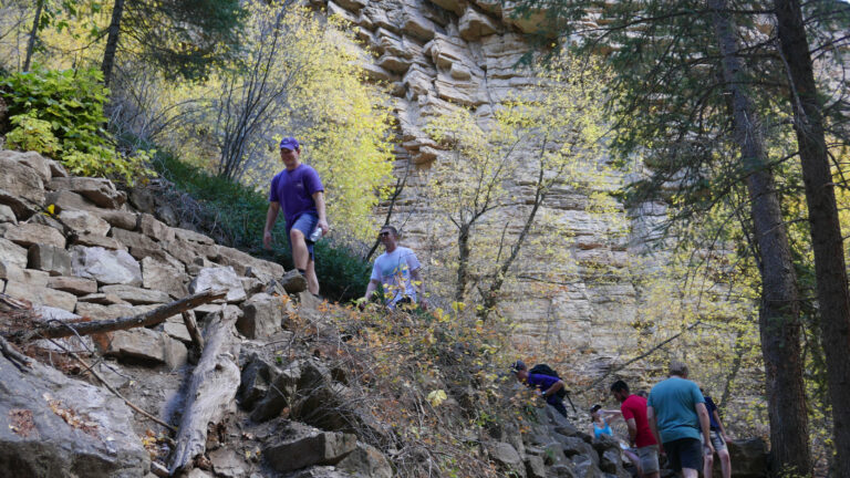
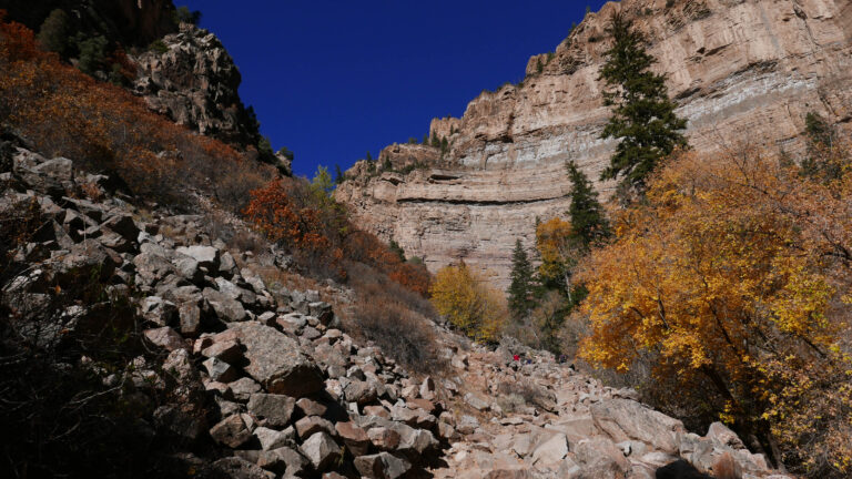
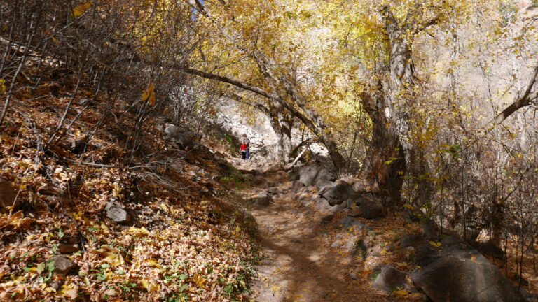
For my brother’s bachelor party, we met up in Colorado to stay at a friend’s family place. It was my first time seeing CO in the fall, and although we were slightly late, we did catch some fall colors. We got a river rafting trip, some four-wheeling, and drinks in Denver on arrival (also my first time actually stopping outside the airport). One of the highlights, at least for photos, was the Hanging Lake hike. It was straightforward, with a path taking you to different angles, and it looked like people would travel further up the water, but we were casually exploring. Re: CO altitude — why are the bathrooms always up a flight of stairs?
October 15, 201639.6017°N 107.1915°W
— routes
MB
Trail Journal
GPX · Photos · Heatmap
Browse Routes
Open any route card to focus the map, inspect stats, trace elevation, and browse media.
Photo Markers
Open a route card to browse photos geotagged along the trail. Enable the Photos layer to see photo markers on the map.
Heat Map
Enable the heat layer in the layers panel to reveal route density across the current map data.
You had a hunch this place got more popular. It did, and then some. Hanging Lake now requires a timed reservation and permit — roughly $10–$12 a person depending on season, capped daily. The trail also took years of damage: the 2020 Grizzly Creek Fire burned the canyon, 2021 debris flows tore up the path, and it sat closed through multiple seasons while crews rebuilt it and replaced all seven creek bridges. It reopened in 2025 after a full trail redesign.
When to go: it’s a short 1.2-mile climb, but steep, and the upper section is now strict — no swimming, no dogs, stay on the boardwalk — to protect the lake. Book the permit ahead. You can’t just pull off I-70 and walk up the way we did.