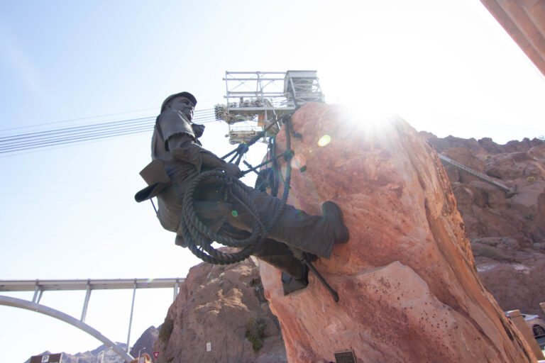
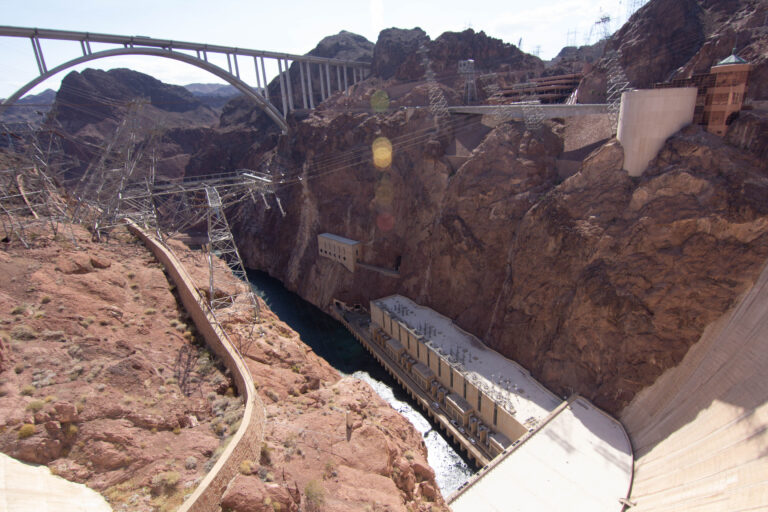
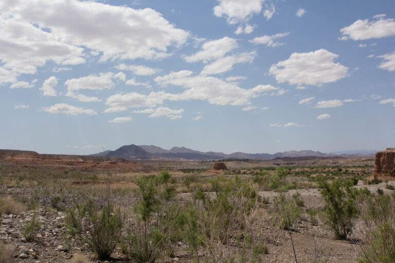
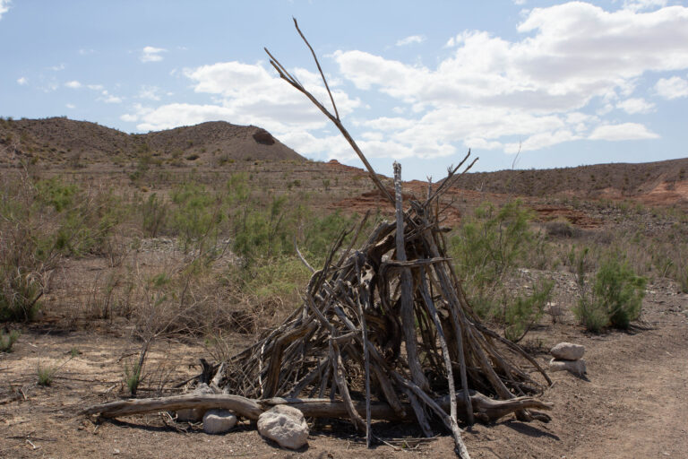
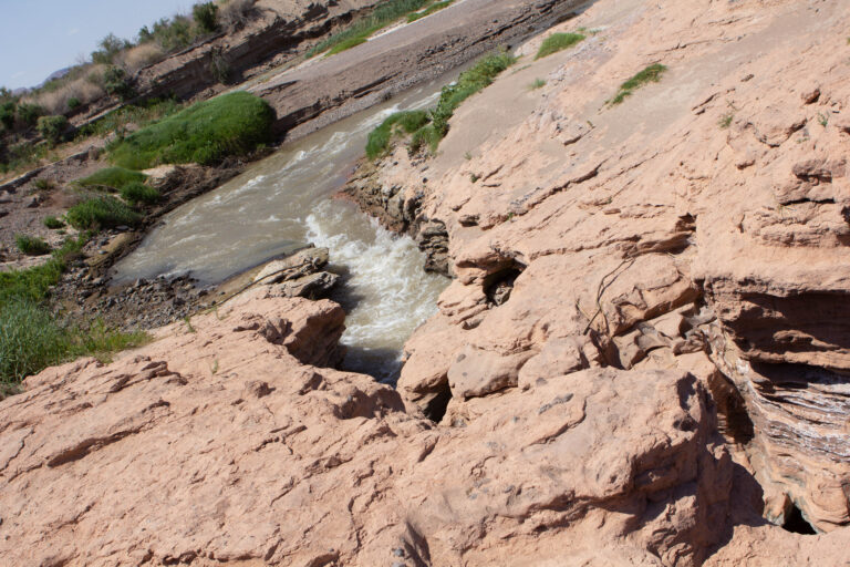
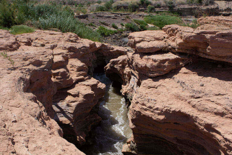
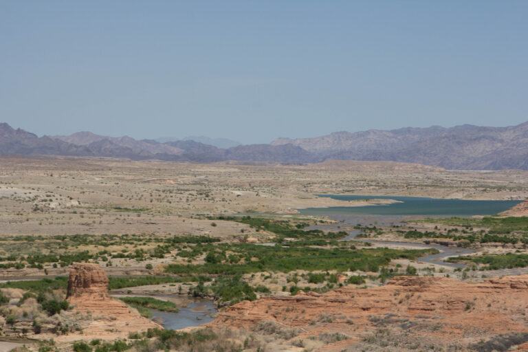
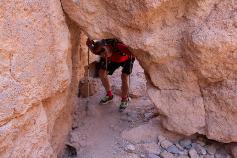
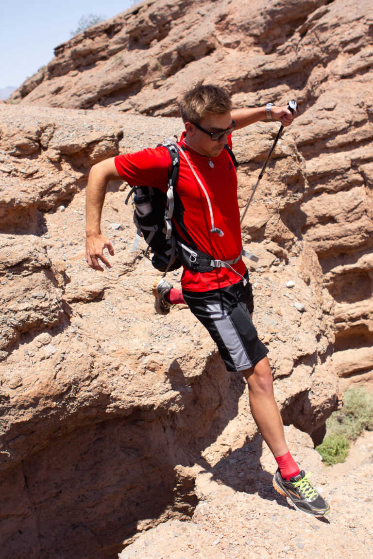
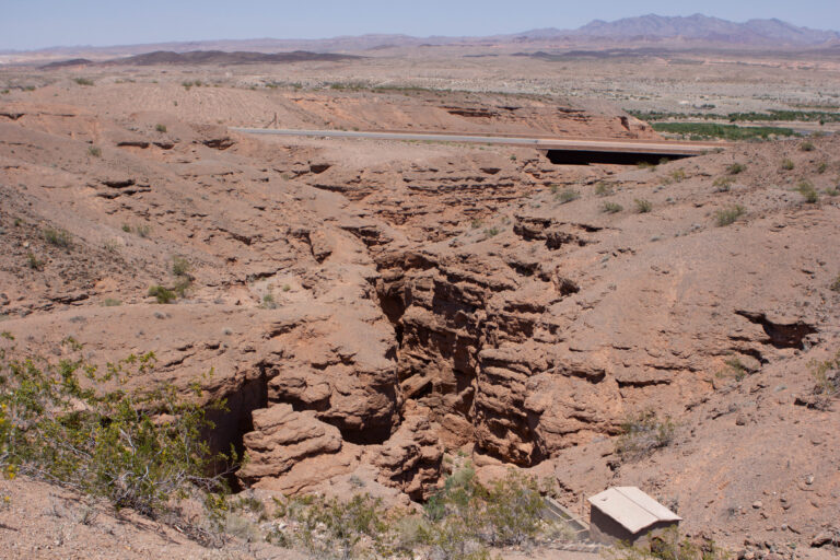
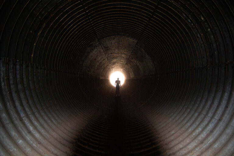
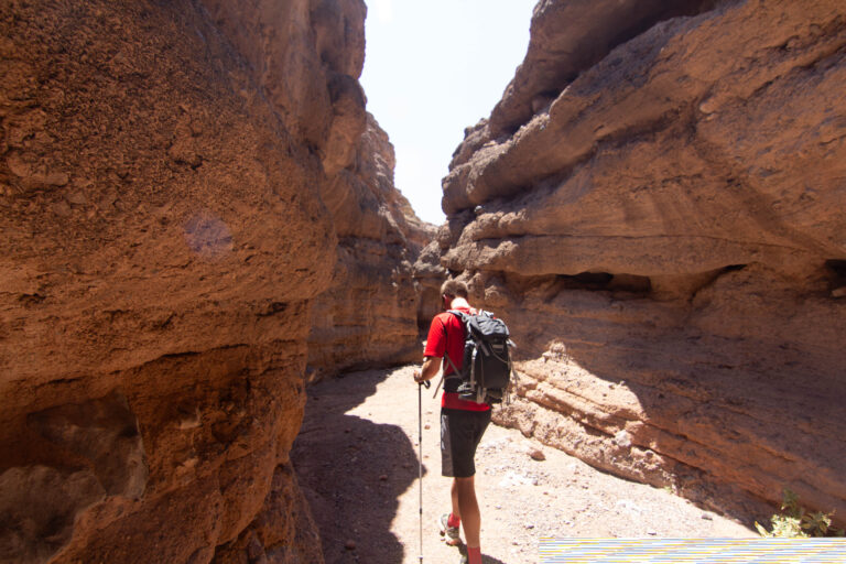
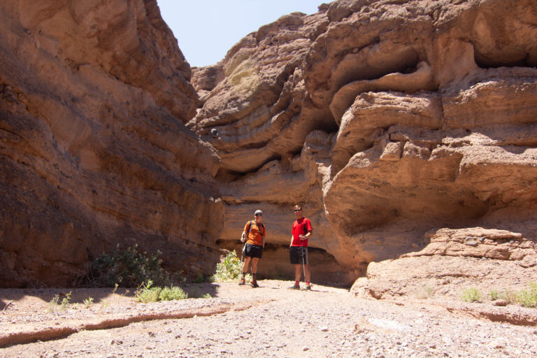
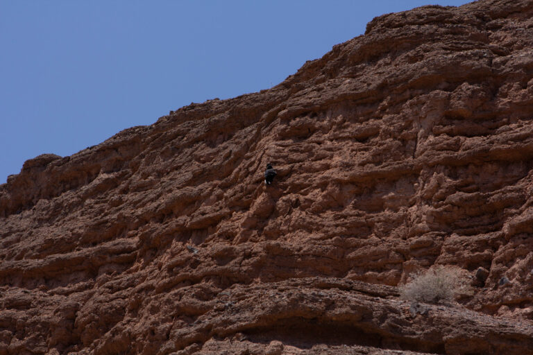
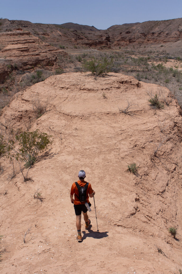
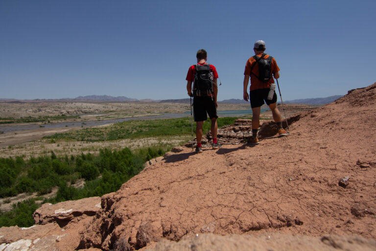
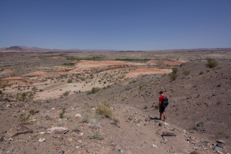
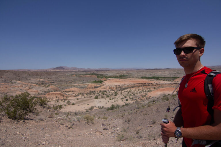
The day my dad couldn’t go, my college roommate Brooks and I went to hike in Lake Mead National Recreation Area. The intention was to keep it easy because of the injury I mentioned in the Zion entry. Instead we ended up on a trail that went down a canyon and got stuck in the middle of nowhere, and slid down the side of a scree field with me in a sling. We saw lots of history from when there used to be more water, and even the beginning of a canyon starting to form — a sort of loop including Owl Canyon and connecting to the River Mountains Loop Trail.
May 22, 201636.0500°N 114.7600°W
— routes
MB
Trail Journal
GPX · Photos · Heatmap
Browse Routes
Open any route card to focus the map, inspect stats, trace elevation, and browse media.
Photo Markers
Open a route card to browse photos geotagged along the trail. Enable the Photos layer to see photo markers on the map.
Heat Map
Enable the heat layer in the layers panel to reveal route density across the current map data.
Lake Mead is the reservoir behind Hoover Dam, and the receding water line is its own exhibit — you can read decades of drought in the pale ‘bathtub ring’ on the rock. The paved River Mountains Loop Trail is the easy, well-marked option; the canyon washes off it are where you get into the pick-your-own-line terrain we found.
When to go: not summer. This is low-elevation Mojave and it routinely clears 110°F from June through September. Go October through April, carry far more water than you think you need, and tell someone your plan — signal drops off fast down in the canyons.